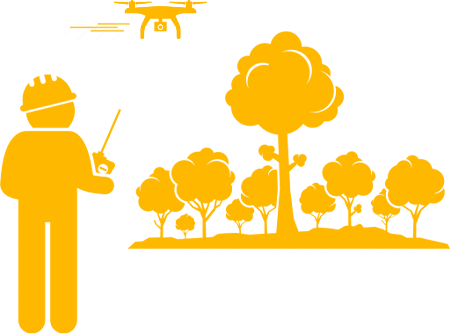
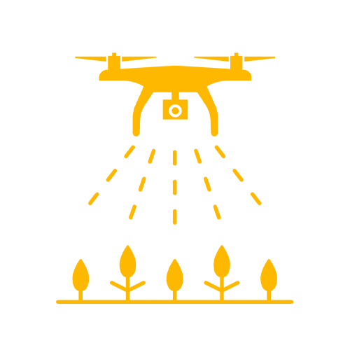
Volatus drones fly to identify, count and monitor natural resources.
DETECT
Review analyzed flight imagery and share with your staff, contractors and project stakeholders.
IMPLEMENT
Directly target problem areas, verify ground-truth, and apply treatment as needed.
LIDAR
REVOLUTIONIZED THE WAY TO QUANTIFY FORESTS AND TERRAIN IN 3D – Remote sensing technologies are one of the most important tools for monitoring environmental change at scale, and over the last few decades have revolutionized conservation and environmental research in myriad ways.
REMOTE SENSING WITH LIDAR – Light detection and ranging, alternatively referred to as airborne or terrestrial laser scanning, is a remote sensing technique that produces a 3D point cloud of the structure of the terrain and the vegetation above it, and the 3D structure of vegetation is known to be a primary determinant of habitat quality for many species.
The capabilities of LIDAR systems to describe the 3D structure of forests were demonstrated almost 20 years ago, and as its use in forestry applications grew its value in ecology became increasingly apparent.
SUB-METER PRECISION IN 3D – LIDAR is superb at capturing the 3D structure of the terrain and the vegetation above it, making it a valuable technique in numerous fields.
LIDAR data can be used to estimate carbon stocks, flood risk, erosion, and the suitability of habitat for wildlife.
PHOTOGRAMMETRY
The adoption of Structure from Motion Photogrammetry (SfM) is transforming the acquisition of three-dimensional (3D) remote sensing (RS) data in forestry. SfM photogrammetry enables surveys with little cost and technical expertise.
Increases in the spatial and spectral resolution of sensors available for SfM photogrammetry enable forest health assessment and monitoring. Volatus regularly provides coherent 3D data and spectral information through drone-enabled photogrammetry.
We offer several spatial products from a single sensor, the SfM workflow enabling foresters to receive fit-for-purpose RS data.
Autonomous monitoring, analysis, and countering of air pollution using environmental drones is a valuable tool.
Volatus can provide real-time air quality data to researchers by deploying multiple drones that hover over the designated area. The drones enable a systematic measurement of air quality.
There are many ways to achieve air quality control monitoring leveraging the latest technologies that deliver cost-effective and efficient drone-enabled solutions.
WHO WE'VE WORKED WITH
We'll deliver the perfect solution for your project.