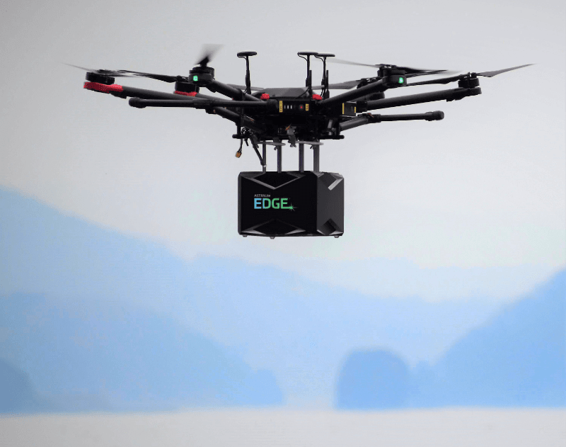
Volatus Aerospace brings ASTRALiTe EDGE to Canada
Shallow water surveying has been expensive and dangerous, until now. ASTRALiTe EDGE is a remarkable innovation that fills the “shallow water information gap,” safely and at a lower cost, higher resolution than any other solution available today. Since it is mounted on a small UAV format, it is flexible and fast to deploy. It has a 2-in-1 topo-bathy system that removes the need for two sensors. It delivers 100x higher point density than traditional airborne systems at 10x lower cost and we think our clients who need to survey shallow water should see this in action.
This week the unit will arrive in B.C. where our team at Volatus UAViation will demonstrate its capabilities to a few of our clients and grab some B-Roll for our communications campaign. In September we are going coast-to-coast with it, and introducing those who need this technology, to their made-to-measure solution.
EdgeTM is now the optimal choice for both small scale and larger scale survey and mapping projects:
• Streams, Rivers, Ponds, & Lakes
• Near-Shore / Coastal Environments
• Water Resource Management
• Natural Disaster Assessment & Recovery
• Underwater Infrastructure Inspection
• Military Logistics
• Industrial Retention Ponds
Want to know more? We would love to hear your thoughts and answer any questions you may have about this incredible LiDAR innovation. Contact Graham.Anderson@VolatusAerospace.com
