From mission planning to actionable insights, Volatus Aerospace delivers turnkey aerial solutions that help organizations operate safer, smarter, and more efficiently
Our workflow is designed to ensure accurate data acquisition, operational efficiency, and actionable outcomes. We combine aerial platforms, advanced sensors, and domain expertise to deliver end-to-end solutions tailored to each project requirement.
We begin by understanding your operational objectives, site conditions, technical requirements, and expected outcomes to define the right aerial solution.
Our specialists evaluate project feasibility, sensor requirements, regulatory constraints, flight operations, and data deliverables to develop an optimized execution plan.
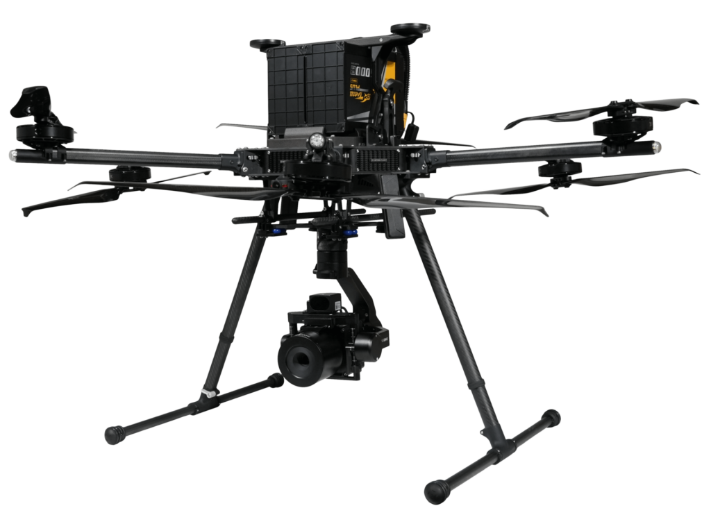
Once aligned, our operations team deploys the appropriate UAV or crewed aerial platform to capture high-quality geospatial, visual, thermal, or sensor-based data.
Collected data is processed using advanced analytics and geospatial workflows to generate actionable insights, technical reports, maps, models, and decision-ready intelligence, not just raw data.
Continuous or periodic aerial observation operations focused on real-time situational awareness, activity detection, perimeter security, and operational monitoring over large areas or distributed assets.
Acquisition and processing of accurate geospatial data for surveying, terrain modelling, mapping, volumetric analysis, and digital twin generation.
UAV-based transportation of payloads, equipment, medical supplies, and mission-critical materials using autonomous or remotely piloted aerial logistics systems.
Rapid deployment aerial operations for incident assessment, search and rescue support, hazard monitoring, emergency coordination, and post-disaster intelligence gathering.
Remote sensing and aerial analytics solutions for vegetation analysis, environmental assessment, forestry management, crop intelligence, and natural resource monitoring.
Our capabilities and multi-sensor approach enables deeper insight, earlier detection, and better decision-making.
Automated defect detection and predictive data insights.
Inspections for fault detection.
Mapping and digital twin modelling.
Extended-range data collection beyond VLOS.
Detection for electrical discharge.
Combined topographic and underwater terrain mapping.
Image-based mapping and 3D reconstruction.
Environmental, agricultural, and specialized crop/soil analysis.
Real-time awareness and secure telemetry broadcasting.
Optical Gas Imaging & methane detection.
Real-time compute for rapid localized sorting and safety.
Accurate virtual reconstructions of physical asset.
Detection and mapping of magnetic anomalies and buried assets.
Subsurface detection and underground asset mapping.
Counter-drone detection, tracking, and mitigation.
High-resolution underwater terrain and depth mapping.
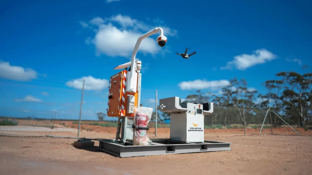
Autonomous drone docking and launch capability for persistent operations.
Remote connectivity through cellular and satellite communications.
Secure remote monitoring and system management.
PTZ situational awareness cameras for comprehensive site visibility.
Integrated weather monitoring and environmental sensors.
Remote operational support for field teams
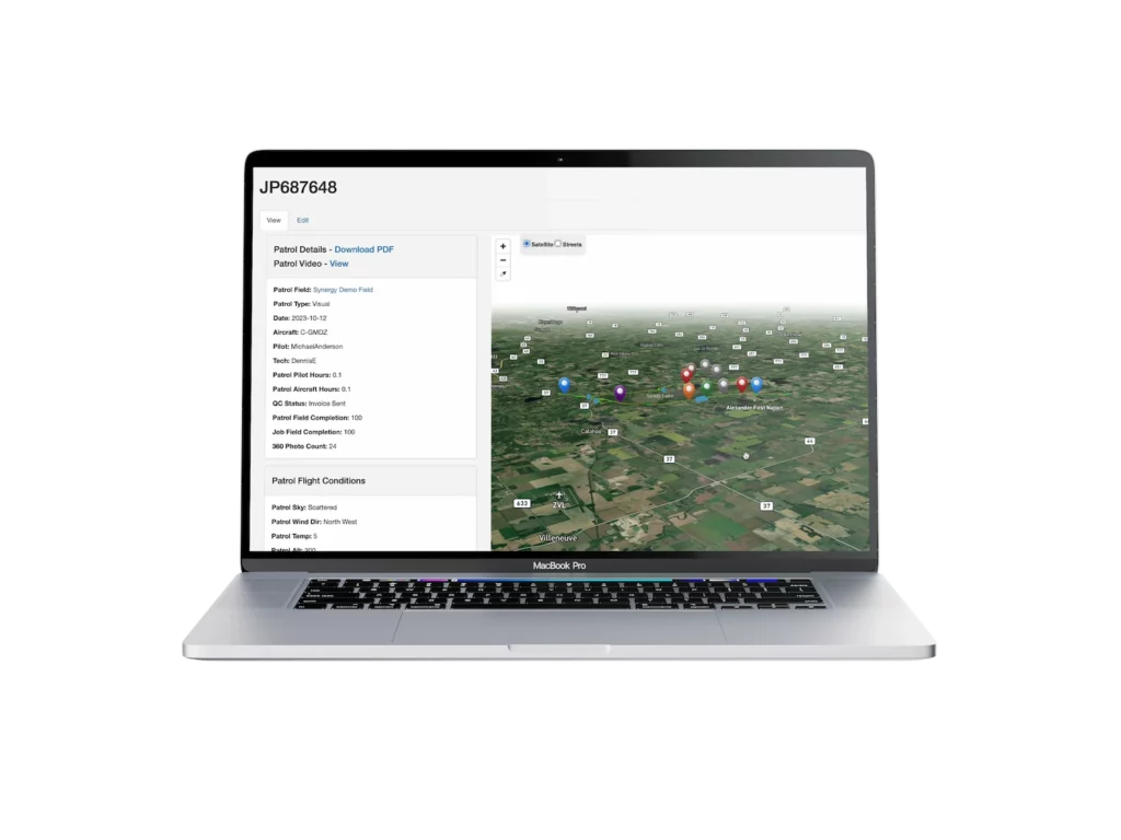
Real-time monitoring of aerial inspection missions
Data ingestion and quality assurance workflows
Secure management and delivery of inspection data
These capabilities allow organizations to continuously monitor assets across large or remote environments.
Power transmission corridors, pipelines, and transportation networks.
Infrastructure failures, natural disasters, and environmental incidents.
Through airborne imaging and sensor systems.
Transition from wide-area monitoring to detailed asset inspection.
Centralized monitoring and decision support.
We are more than a drone service provider, we are an enterprise aerial intelligence partner.
Our solutions enable organizations to optimize asset performance, improve reliability, and make better operational decisions at scale.
Whether you need a single inspection or a nationwide surveillance program, Volatus Aerospace delivers mission-ready solutions.