Automated defect detection and predictive data insights.
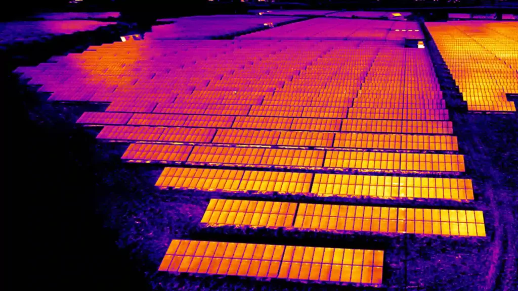
Radiometric aerial inspections for electrical, mechanical, and structural fault detection.
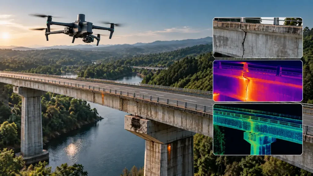
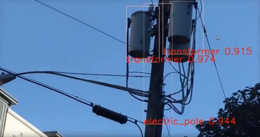
Automated defect detection, predictive data insights, and computer vision feature extraction.
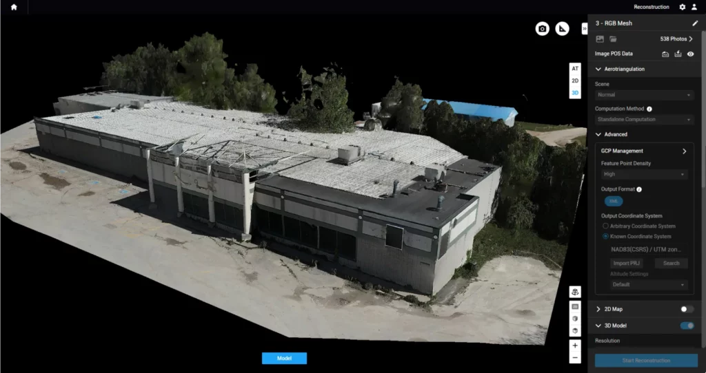
High-resolution aerial image processing for 2D mapping and 3D surface reconstruction.
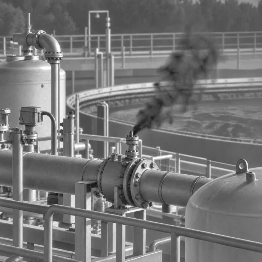
Optical Gas Imaging for fugitive emission tracking and methane leak detection.
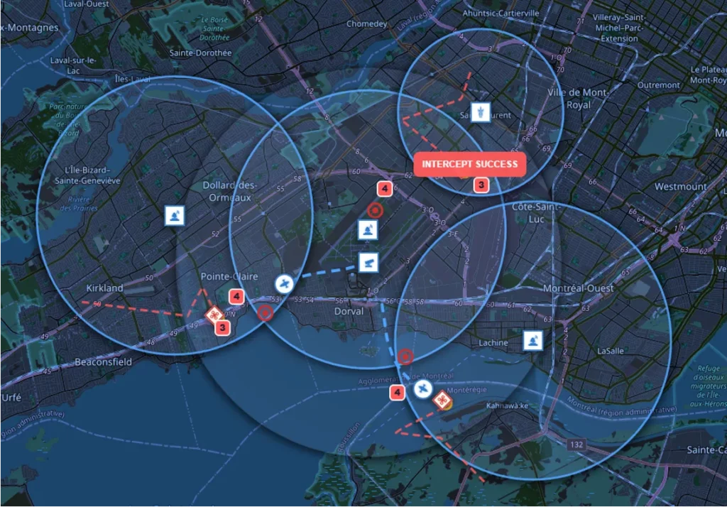
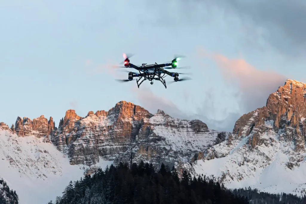
Integrated counter-drone airspace security providing real-time threat detection, tracking, and mitigation.
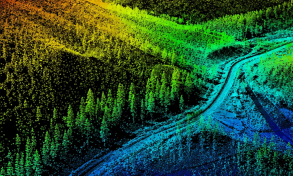
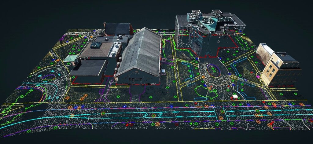
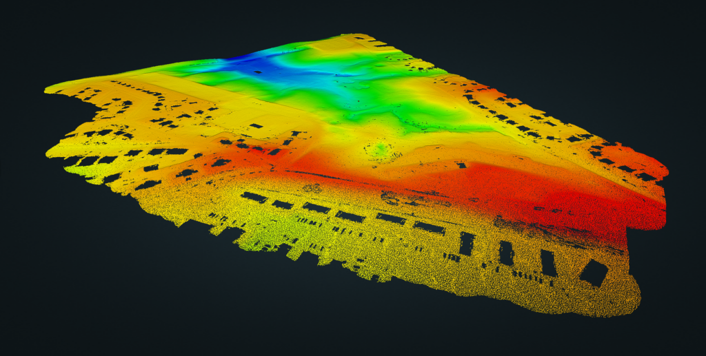
High-density 3D laser scanning for terrain mapping, infrastructure modeling, and digital twins.
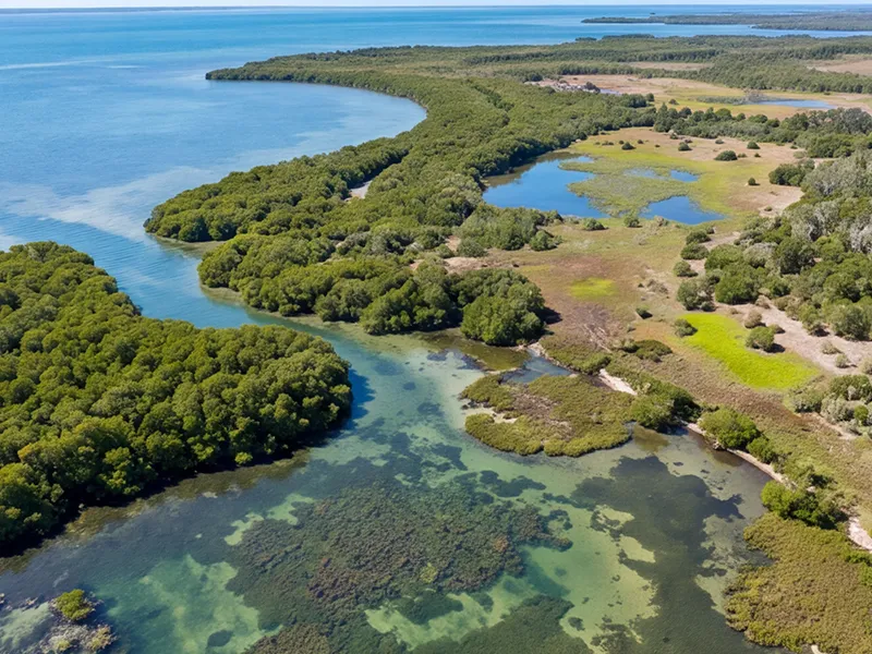
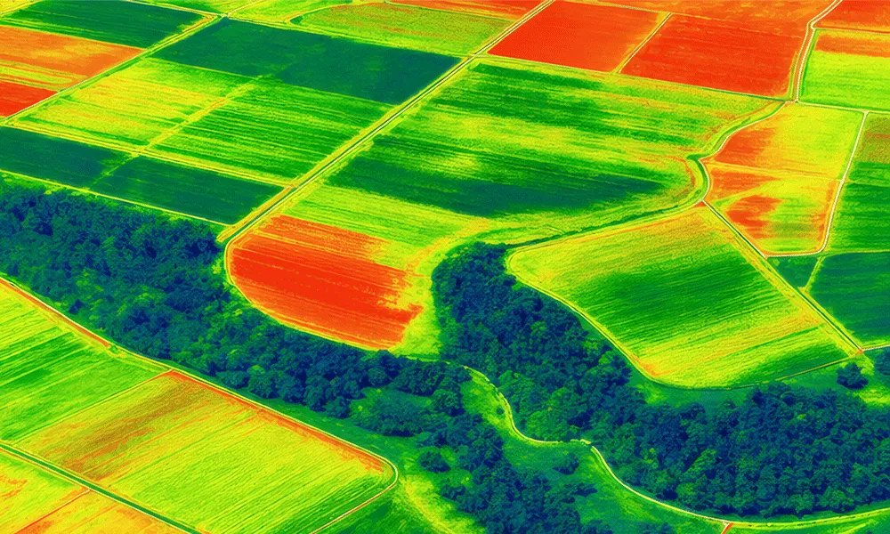
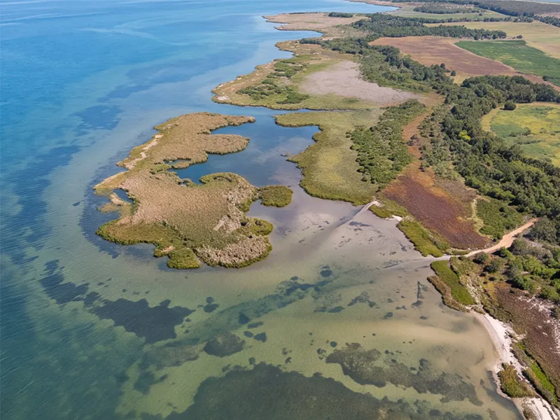
Multi-band sensor imaging for environmental assessments, precision agriculture, and soil/crop analysis.
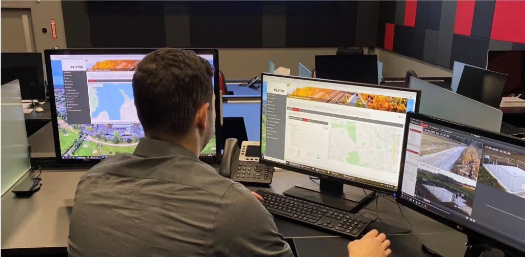
Real-time video broadcasting and secure remote telemetry stream access for field operations.
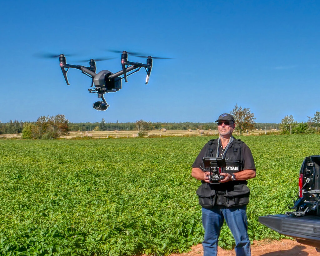
Extended-range aerial data collection conducted Beyond Visual Line of Sight.
Onboard and localized real-time computing for rapid sorting, analytics, and automated safety triggers.
Accurate virtual reconstructions of physical asset.
Airborne magnetic surveying for subsurface geological mapping, metallic anomaly detection, and buried infrastructure tracking.
Non-destructive subsurface radar imaging for mapping underground utilities, structural rebar, and geological layers.
Specialized ultraviolet imaging to detect electrical discharge, arcing, and insulation defects.
High-resolution acoustic hydrographic surveying for detailed 3D underwater floor and bathymetric mapping.