Advanced Aerial Inspection & Asset Integrity Solutions
Modern asset inspection programs require accurate condition assessment, reduced operational downtime, and safer access to critical infrastructure. Our aerial inspection solutions support industrial operators, utilities, infrastructure owners, and engineering teams with high-resolution airborne inspections, advanced sensor data acquisition, and scalable inspection workflows.
Using integrated aerial platforms equipped with thermal imaging, LiDAR, gas detection, multispectral sensing, and HD visual systems, we deliver inspection data that supports maintenance planning, regulatory compliance, structural assessment, and operational decision-making.
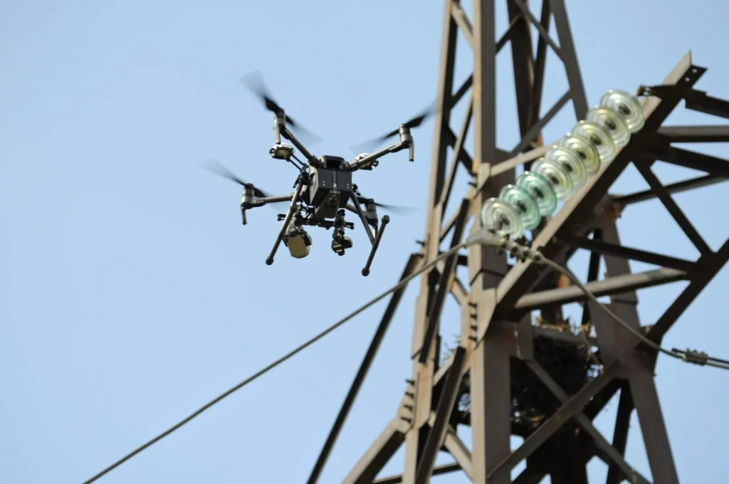
Integrated aerial sensing systems and inspection workflows supporting detailed condition assessment and asset intelligence.
High-resolution airborne imaging for structural assessment, defect identification, and asset condition monitoring.
Thermal inspections supporting hotspot detection, anomaly identification, and predictive maintenance workflows.
High-accuracy spatial data acquisition supporting structural analysis, digital twins, and infrastructure modelling.
Airborne gas sensing systems supporting methane detection, emissions monitoring, and environmental assessments.
Automated analytics supporting anomaly detection, defect identification, and inspection data interpretation.
Survey-grade positioning systems ensuring accurate and repeatable inspection data acquisition.
Combined crewed and remotely piloted aerial operations supporting scalable inspection deployments.
Geo-referenced inspection outputs, condition analysis, and reporting supporting maintenance and operational planning.
Deploy advanced aerial inspection technologies to improve defect detection, inspection coverage, and operational decision-making.
Advanced aerial inspections improve asset visibility, reduce inspection risk, support proactive maintenance planning, and enable faster operational decision-making across critical infrastructure environments.
Remote aerial inspections reduce personnel exposure in hazardous, elevated, and difficult-to-access environments.
Rapid airborne inspections improve inspection efficiency while minimizing operational disruption and downtime.
Advanced sensing technologies provide detailed structural, thermal, and environmental asset intelligence.
Support for recurring inspections, large infrastructure networks, and geographically distributed asset environments.
We are more than a drone service provider, we are an enterprise aerial intelligence partner.
Combined crewed and remotely piloted aerial operations supporting diverse mission requirements.
Multi-sensor data acquisition integrated with geospatial and analytical workflows.
Experienced mission planning, regulatory coordination, and reliable field execution.
Processed insights, technical outputs, and actionable reporting beyond raw aerial data collection.
Leverage advanced aerial inspection technologies and integrated operational workflows to support safer, faster, and more informed infrastructure inspections.
Real-time aerial visibility and operational awareness across complex environments.
Smart and Intelligent Monitoring Across Land, Forest & Agriculture