Real-time aerial visibility and operational awareness across complex environments.
Modern surveillance operations require continuous situational awareness, scalable monitoring capabilities, and rapid access to operational intelligence. Our aerial surveillance and monitoring solutions support infrastructure operators, industrial facilities, public safety agencies, and remote operations teams with real-time airborne visibility and aerial monitoring capabilities.
Using integrated aerial platforms equipped with HD imaging systems, thermal sensors, live-streaming technologies, and AI-assisted analytics, we support both scheduled monitoring operations and rapid-response aerial deployments across diverse operational environments.
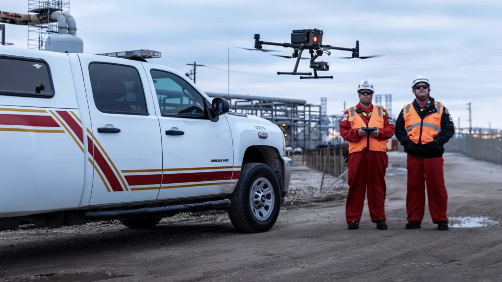
High-resolution airborne imaging for real-time observation, monitoring, and visual intelligence collection.
Thermal sensing capabilities for heat anomaly detection, low-visibility monitoring, and operational risk identification.
Automated analytics for object detection, activity recognition, anomaly identification, and operational intelligence workflows.
Real-time airborne video transmission enabling remote monitoring and operational coordination.
Integrated command and control systems supporting distributed aerial monitoring operations.
Extended-range aerial operations for large-area surveillance and corridor monitoring missions.
Rapid onboard and field-based processing for time-sensitive operational intelligence delivery.
Combined crewed and remotely piloted aerial capabilities supporting scalable surveillance deployments.
Integrated mission control center for real-time aerial monitoring, mission visibility, communication workflows, and distributed surveillance operations.
Live aerial feeds, telemetry, and monitoring systems providing continuous visibility across operational areas for improved situational awareness and faster response coordination.
Persistent aerial monitoring capabilities enabling faster anomaly detection, operational escalation, and response support across dynamic environments.
Centralized coordination of aerial assets, field teams, and surveillance activities through integrated operational workflows and real-time communication systems.
Leverage integrated aerial capabilities, real-time monitoring systems, and scalable operational workflows to support complex surveillance and field operations.
Aerial surveillance provide continuous operational visibility, scalable monitoring coverage, and faster situational awareness across large, remote, and operationally complex environments.
Live airborne visibility supporting faster operational assessment and field coordination.
Support for recurring patrols, scheduled monitoring missions, and rapid-response operational deployments.
Remote aerial monitoring minimizes personnel exposure in hazardous, inaccessible, or geographically distributed environments.
Efficient aerial coverage across distributed assets, operational corridors, and remote infrastructure environments.
We are more than a drone service provider, we are an enterprise aerial intelligence partner.
Combined crewed and remotely piloted aerial operations supporting diverse mission requirements.
Multi-sensor data acquisition integrated with geospatial and analytical workflows.
Experienced mission planning, regulatory coordination, and reliable field execution.
Processed insights, technical outputs, and actionable reporting beyond raw aerial data collection.
Discuss your requirements with our technical team to identify the right aerial solution for your operations.
Smart and Intelligent Monitoring Across Land, Forest & Agriculture