Smart and Intelligent Monitoring Across Land, Forest & Agriculture
Environmental monitoring, forestry operations, and modern agriculture increasingly rely on accurate geospatial intelligence, scalable monitoring capabilities, and data-driven decision-making. Our aerial operations support environmental agencies, forestry organizations, agricultural operators, and land management teams with advanced remote sensing, aerial analytics, and operational monitoring solutions.
Using remotely piloted and crewed aerial platforms equipped with multispectral sensors, LiDAR systems, thermal imaging, and geospatial processing workflows, we deliver high-quality environmental and vegetation intelligence across diverse operational environments.
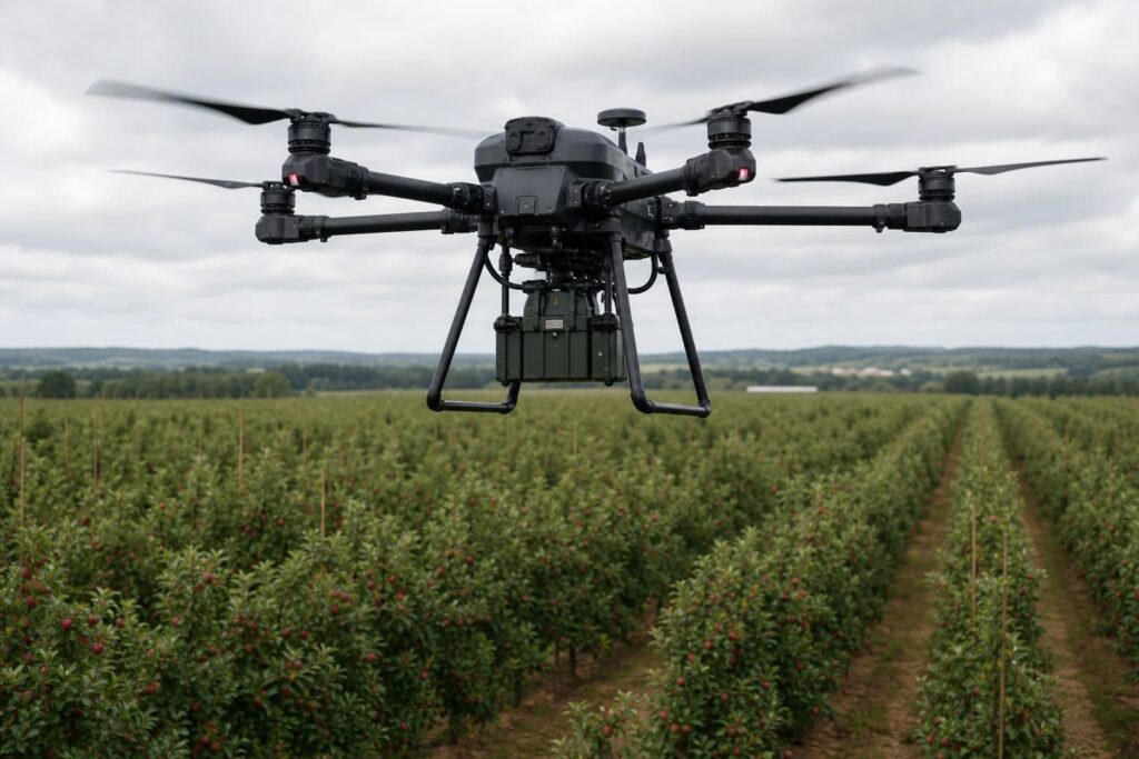
Integrated aerial sensing systems and geospatial workflows supporting large-scale environmental and vegetation intelligence operations.
Spectral sensing capabilities supporting vegetation analysis, crop assessment, and land classification workflows.
High-accuracy terrain and canopy mapping supporting forestry analysis and environmental modelling.
Thermal sensing for vegetation stress detection, wildfire monitoring, and environmental assessment.
Spatial data processing and environmental analytics supporting mapping and monitoring operations.
Automated analysis supporting vegetation classification, anomaly detection, and large-scale environmental monitoring.
High-accuracy positioning systems supporting survey-grade environmental and agricultural data acquisition.
Combined crewed and remotely piloted aerial operations supporting scalable environmental monitoring missions.
Generation of terrain, canopy, and environmental surface models supporting analysis and planning workflows.
Leverage advanced aerial sensing, geospatial intelligence, and scalable monitoring capabilities for environmental, forestry, and agricultural operations.
Advanced aerial monitoring and remote sensing technologies enable faster environmental assessment, scalable land monitoring, improved resource management, and data-driven operational decision-making across large and complex landscapes.
Efficient monitoring of forests, agricultural land, environmental corridors, and remote terrain at operational scale.
Support for recurring surveys, seasonal analysis, and long-range environmental monitoring operations.
Airborne data acquisition minimizes extensive ground surveys and improves access to difficult or sensitive environments.
Advanced sensing systems provide detailed vegetation, terrain, and environmental insights for improved assessment and planning.
We are more than a drone service provider, we are an enterprise aerial intelligence partner.
Combined crewed and remotely piloted aerial operations supporting diverse mission requirements.
Multi-sensor data acquisition integrated with geospatial and analytical workflows.
Experienced mission planning, regulatory coordination, and reliable field execution.
Processed insights, technical outputs, and actionable reporting beyond raw aerial data collection.
Discuss your environmental, forestry, or precision agriculture requirements with our team to identify the right aerial sensing and geospatial solution for your operations.
Real-time aerial visibility and operational awareness across complex environments.