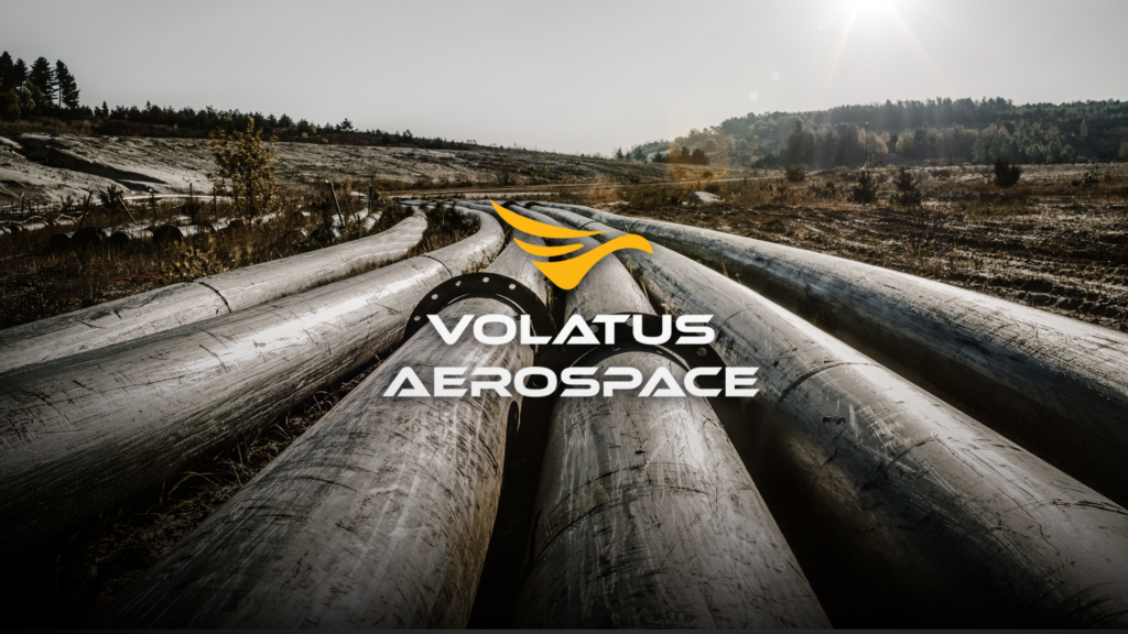
Pipeline networks often stretch across thousands of kilometers of remote terrain, making regular inspections both essential and challenging. Traditionally, energy operators have relied on helicopters, fixed-wing aircraft, and ground crews to monitor pipeline corridors. While effective, these methods are expensive, time-consuming, and can expose personnel to hazardous environments.
Drone-based pipeline monitoring is changing. By combining advanced sensors with AI-powered analytics, drones help operators detect issues earlier, improve safety, and streamline compliance.
Why Pipeline Monitoring Matters
Pipeline right-of-way (ROW) inspections are designed to identify risks before they become costly failures or environmental incidents. Operators must regularly monitor long corridors for leaks, erosion, unauthorized excavation, vegetation growth, and other hazards that could affect pipeline integrity.
For example, Volatus Aerospace conducts pipeline monitoring across Canada from Kitimat, British Columbia, to Ottawa, Ontario covering more than 1.6 million kilometers of pipeline corridor through recurring patrols. At this scale, drone technology provides a faster and more efficient alternative to relying solely on crewed inspections.
Learn More About Volatus Aerospace’s Surveillance and Monitoring Capabilities
What Drone Inspections Look For
Modern drone inspections go far beyond capturing aerial images. They help identify:
- Pipeline leaks and structural anomalies
- Soil erosion that could expose buried pipelines
- Construction or excavation near the right-of-way
- Vegetation that blocks access or signals ground disturbance
- Environmental hazards affecting nearby land or waterways
Because these risks vary, multiple sensor technologies are often used during a single inspection.
The Technology Behind Drone Monitoring
Aerial pipeline integrity programs typically integrate several payload types on a single platform:
- High-resolution HD/RGB imaging for visual corridor inspection and hazard identification
- Thermal imaging to detect anomalies and hotspots along the line that aren’t visible to the naked eye
- Gas detection sensors for methane and other leak identification, Volatus uses a portable aircraft-mounted system, like the Airins Sniffer4D Nano 2 Plus, that couples a gas analysis probe with GPS technology for precise, geo-located leak detection
- Survey-grade RTK/PPK positioning, ensuring inspection data is accurate and repeatable flight after flight
Together, these tools as Survey-grade RTK/PPK positioning, lets a single flight capture geo-located data on the exact location and nature of a potential hazard, not just a photo of the general area.
Turning Flight Data into Actionable Insights
Collecting data is only part of the inspection process. The real value lies in turning thousands of images and sensor readings into information that maintenance teams can act on quickly.
Volatus Aerospace’s proprietary AIRS (Aerial Intelligence Reporting System) processes long-linear inspection data and converts it into compliance-ready reports. Combined with AI-powered analytics, the platform helps identify anomalies, prioritize maintenance, and support regulatory reporting allowing operators to focus on fixing problems rather than reviewing raw footage.
Combining Crewed Aircraft and Drones
Drones don’t replace every inspection flight. Instead, they work alongside helicopters and fixed-wing aircraft. Crewed aircraft efficiently cover long pipeline corridors, while drones perform detailed inspections once potential issues are identified. This hybrid approach improves inspection quality while reducing unnecessary flight hours and operational costs.
Volatus Aerospace is also expanding Beyond Visual Line of Sight (BVLOS) operations, enabling drones to inspect longer distances through a centralized Operations Control Centre (OCC).
The Numbers
The scale of adoption tells its own story. Volatus Aerospace has surpassed 75,000 flight hours conducting pipeline integrity monitoring across North America, using low-altitude aerial inspection to detect and prevent potential leaks, environmental hazards, and structural concerns before they escalate.
That volume of operational experience is what lets an inspection program move from occasional spot-checks to a genuinely proactive, data-driven monitoring cadence with a smaller environmental footprint too, since electric and hybrid drone platforms materially reduce Scope 3 greenhouse gas emissions compared to conventional crewed-only patrols.
Key Takeaways for Energy Operators
For an operator evaluating drone-based pipeline monitoring, the practical takeaways are:
- Data matters as much as the drone: Advanced reporting platforms transform inspection data into actionable, compliance-ready intelligence.
- Multi-sensor inspections are more effective: Visual, thermal, and gas detection technologies each identify different types of risks.
- Regular inspections improve reliability: Frequent monitoring helps detect problems before they escalate into safety or environmental incidents.
- BVLOS represents the future: Long-range drone operations will continue expanding, making inspections more efficient and cost-effective.
As regulatory requirements increase and pipeline networks continue to grow, drone-based monitoring is becoming an essential tool for modern energy operators. By combining advanced sensors, AI-driven analytics, and automated reporting, drone inspections improve safety, reduce costs, and provide reliable data needed to protect critical infrastructure.
Ready to strengthen your pipeline integrity monitoring program? Reach out to the Volatus Aerospace team today to learn how our aerial intelligence, multi-sensor inspection and advanced reporting capabilities can support safer, more efficient pipeline operations.