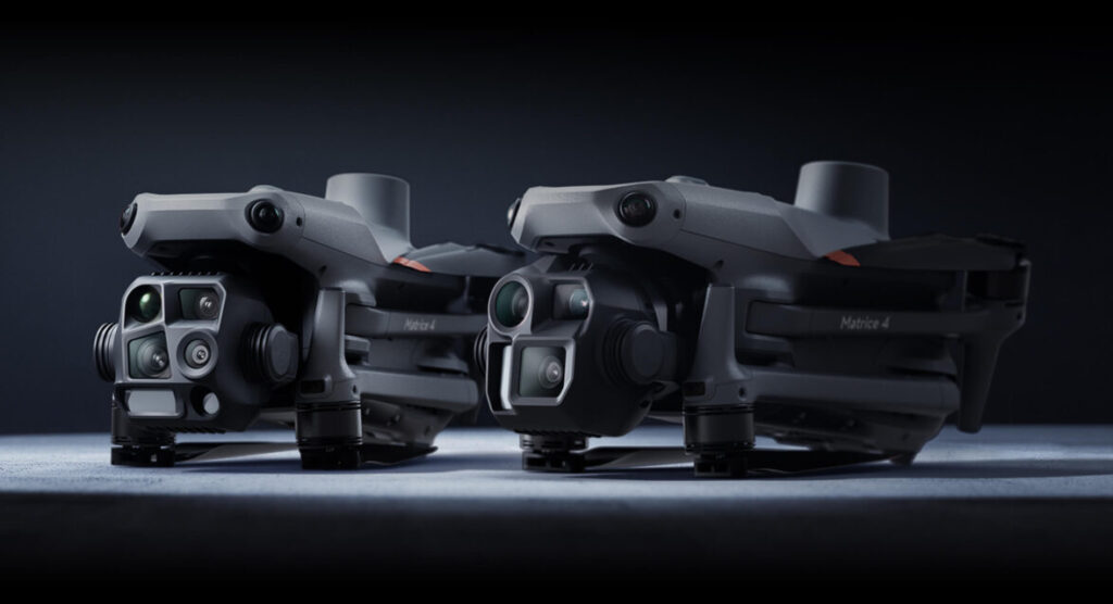
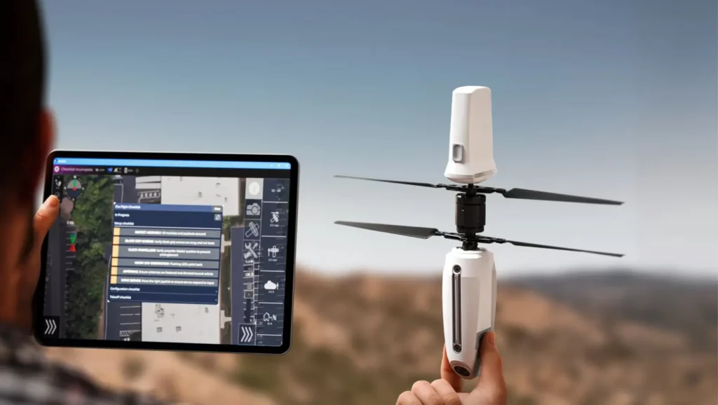
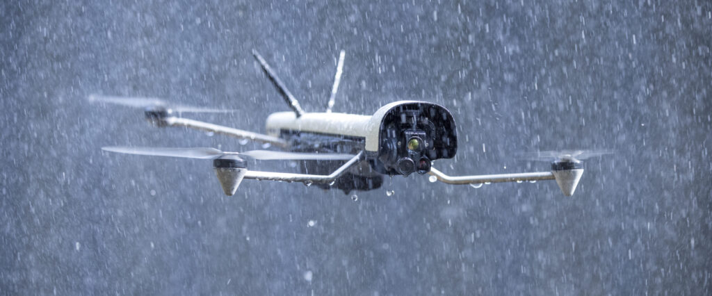
Engineered for inspection and thermal reconnaissance. The M4E/M4T combines enterprise endurance with EO and thermal imaging in a compact, foldable form factor.
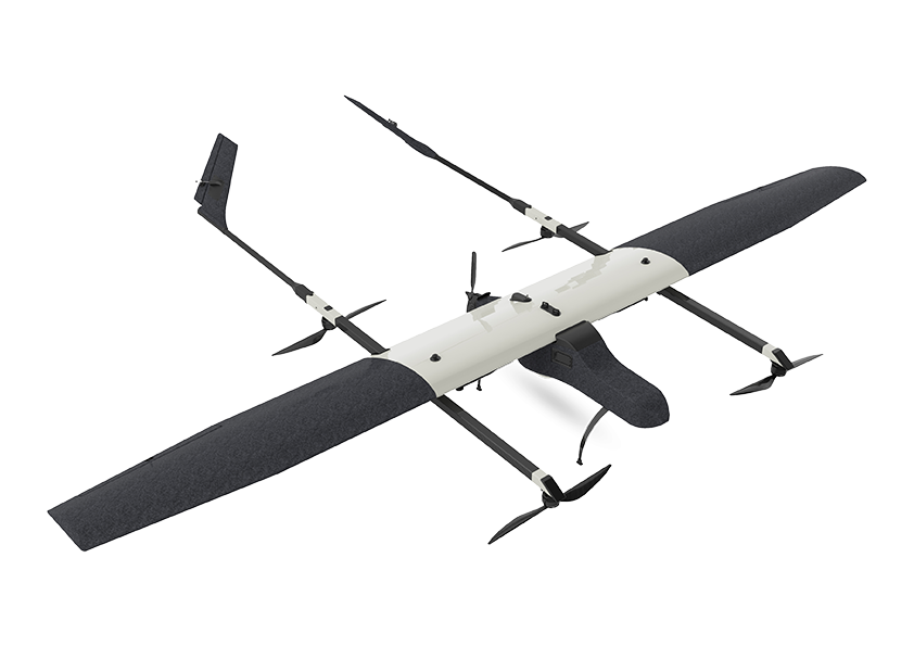
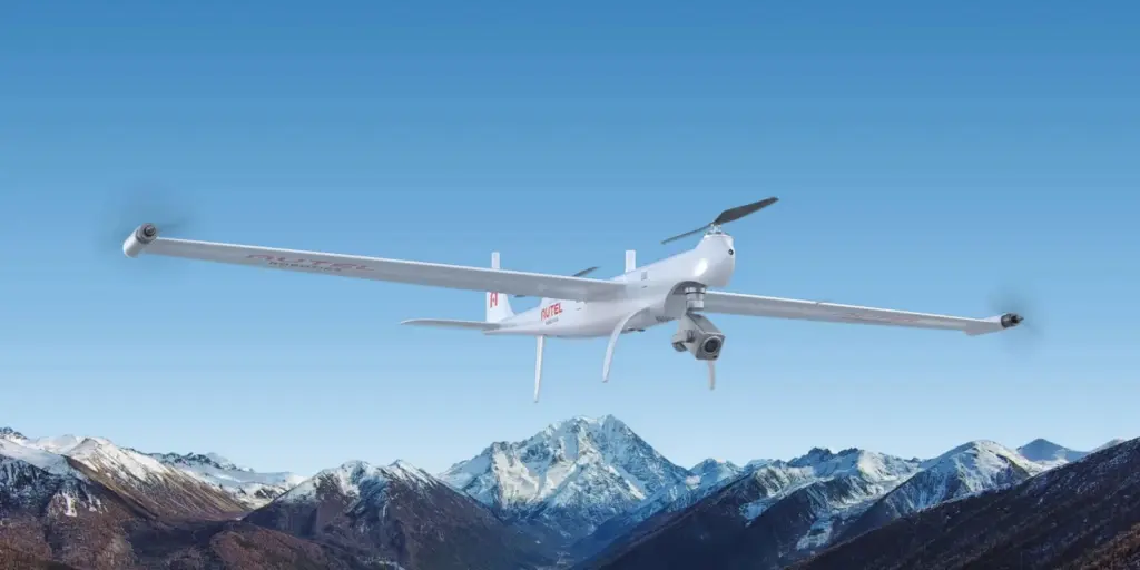
VTOL fixed-wing hybrid designed for extended-range surveillance and reconnaissance. Transition between hover and fixed-wing cruise for maximum efficiency over large areas.
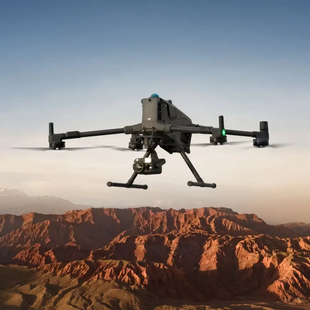
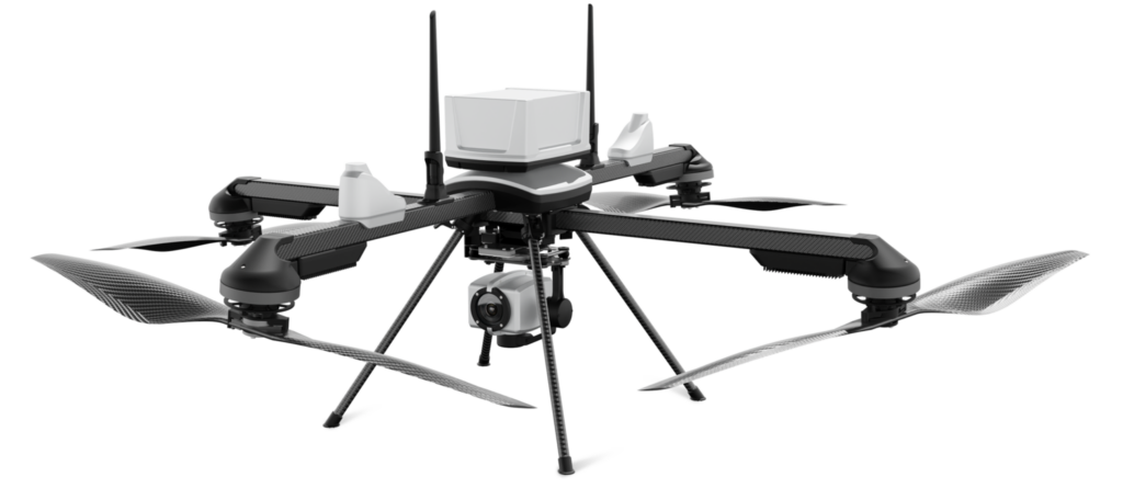
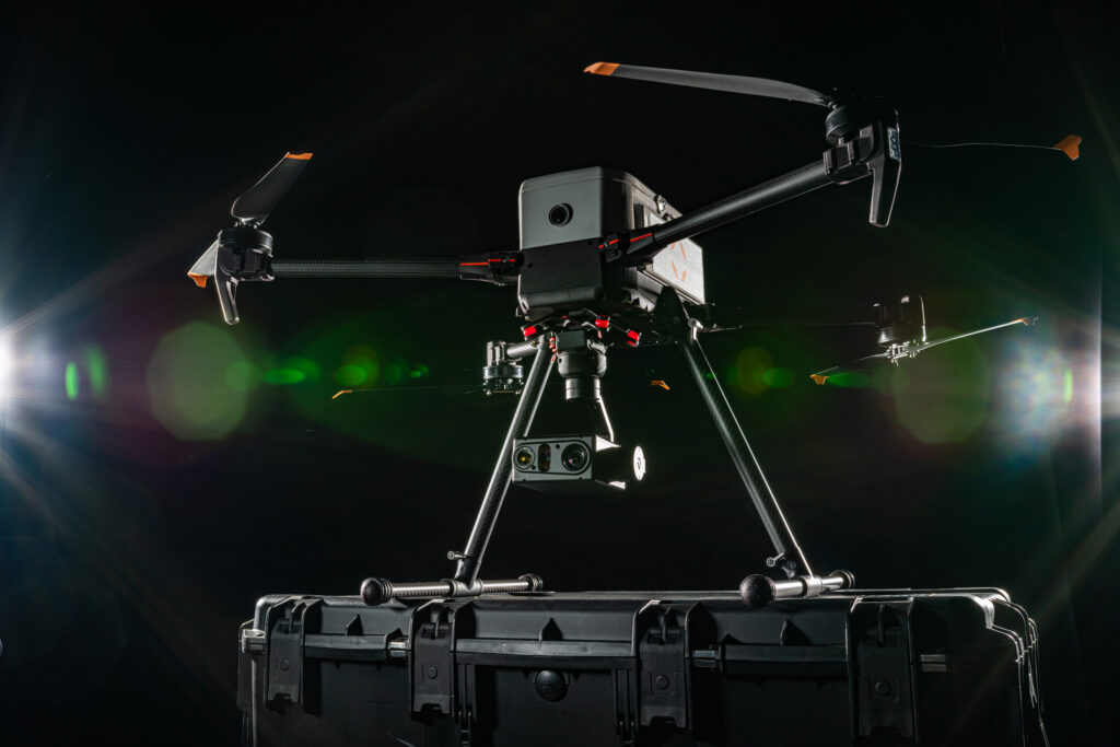
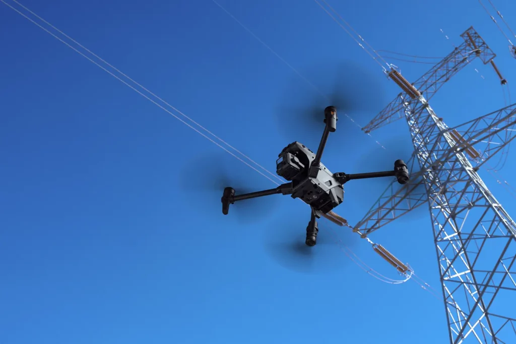
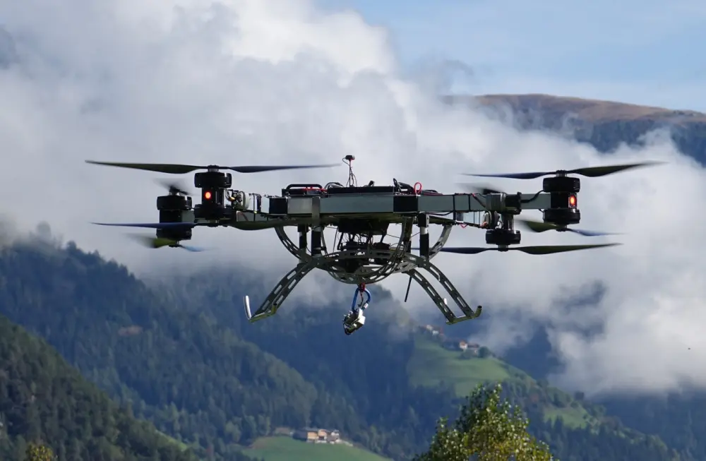
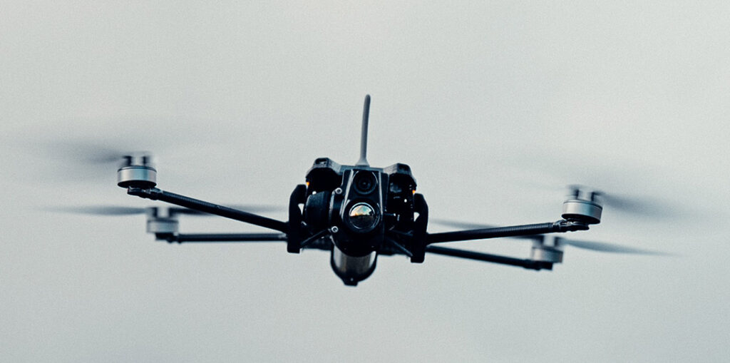
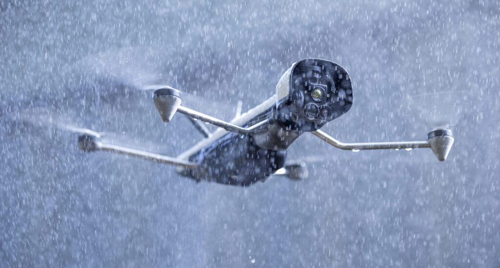
Defense-grade multi-rotor UAV engineered for high-altitude and complex operational environments. Trusted by public safety and critical infrastructure teams.
American-manufactured enterprise drones built for NDAA compliance and government sector deployments. Designed for payload flexibility across commercial and security missions.
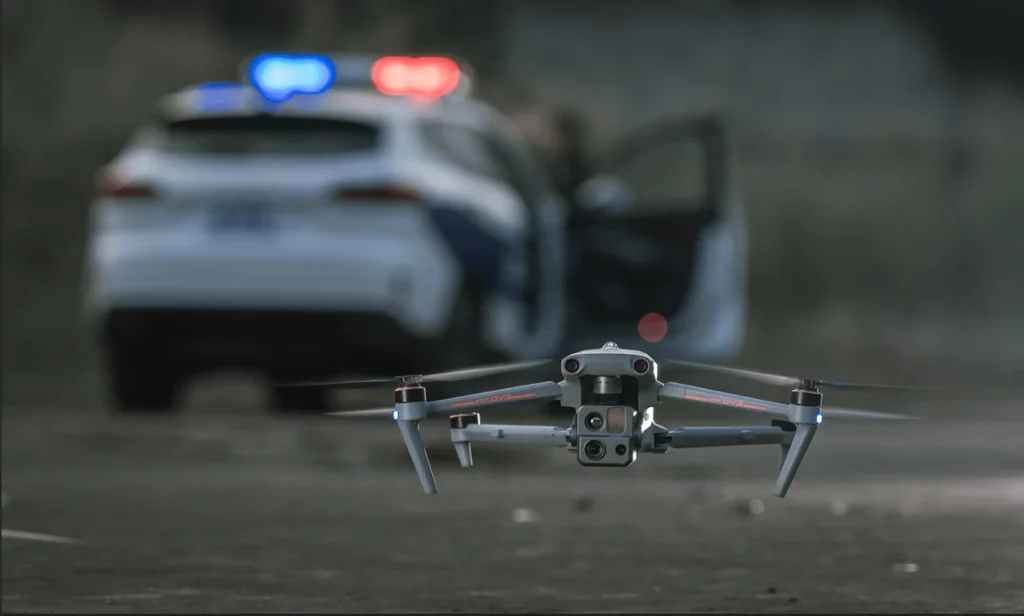
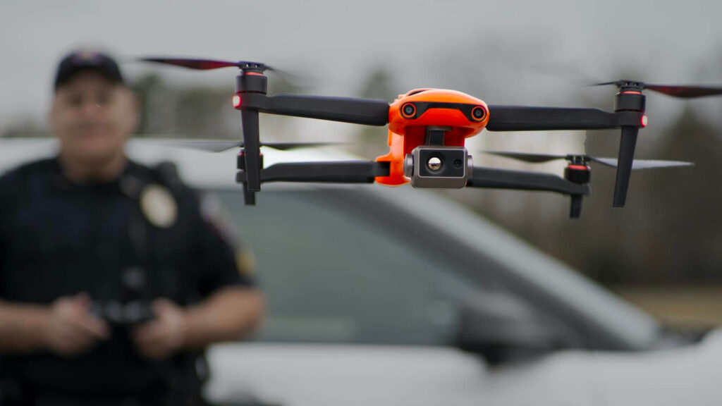
A versatile drone featuring long-range connectivity, obstacle avoidance, and high-resolution imaging for critical industrial and public safety operations.
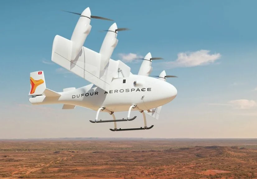
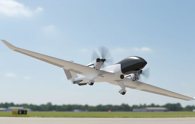
A long-range, hybrid-electric tilt-wing drone engineered for heavy-lift cargo transport and advanced remote sensing without the need for runway infrastructure.
An ultra-reliable cargo drone featuring maximal EW resistance, autonomous navigation, and an automated drop system with adaptive sensors for fast, jam-resistant deliveries.
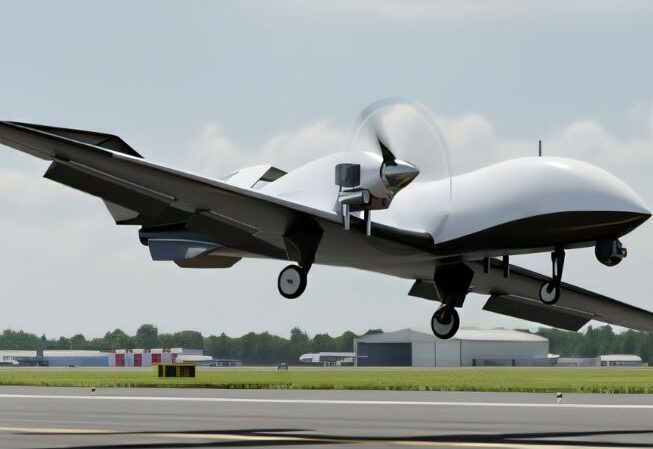
A gasoline-powered, heavy-lift drone engineered to transport up to 180 kg of critical supplies and equipment across a 200 km range in contested or remote environments.
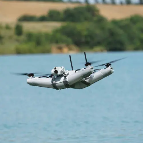
A fully waterproof, inflatable maritime ISR drone engineered for harsh aquatic environments, featuring an autonomous self-righting design for direct water deployment and real-time thermal/optical intelligence.
A high-performance cargo drone engineered for extreme conditions, delivering a 67 mph top speed, a 15-mile range, and operational capabilities at altitudes up to 16,400 feet.
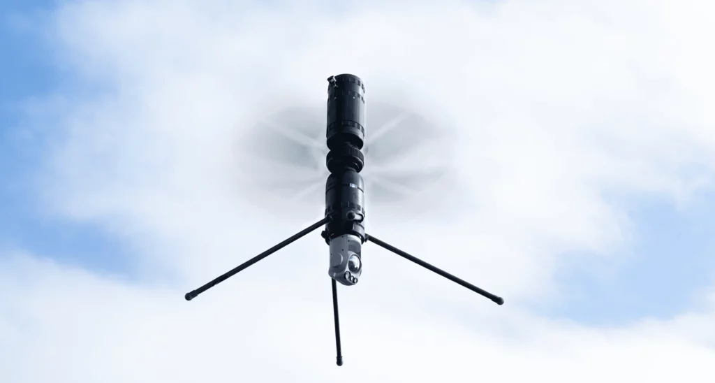
An ultra-compact, sub-250g nano drone with a dual-rotor coaxial design, engineered for 30-second hand-launch deployment and rapid real-time situational awareness in confined or hazardous spaces.
A fully automated, tethered DroneBox designed for 24/7 persistent ISR and tactical communications, capable of vehicle-mounted deployment to 60 meters in under two minutes with GNSS-denied navigation.
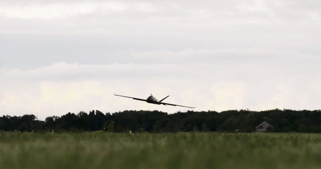
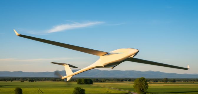
A lightweight, hand-launched fixed-wing ISR drone built on frontline operational requirements, featuring long endurance, low acoustic signature, and modular payloads for surveillance, mapping, and electronic warfare.
The Pathfinder and Docking Station form a fully autonomous drone-in-a-box system with 3+ hours of flight time, edge AI, automatic battery swaps in under 20 seconds, and precise autonomous landings for uninterrupted mission readiness.
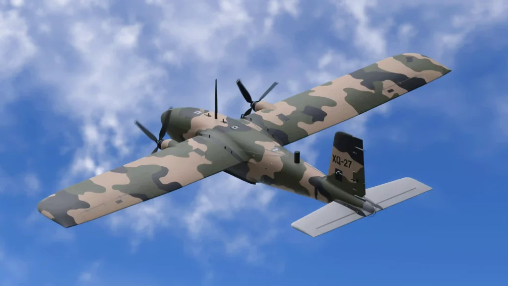
A payload-agnostic, multi-role RPAS featuring a modular bay and nose to swap seamlessly between ISR, loitering strike, EW, and counter-UAS configurations using a common, attritable airframe.
A rugged, all-weather coaxial UAV featuring an NDAA-compliant, Blue UAS-cleared architecture and a universal click-ring interface for rapid, modular payload swapping.
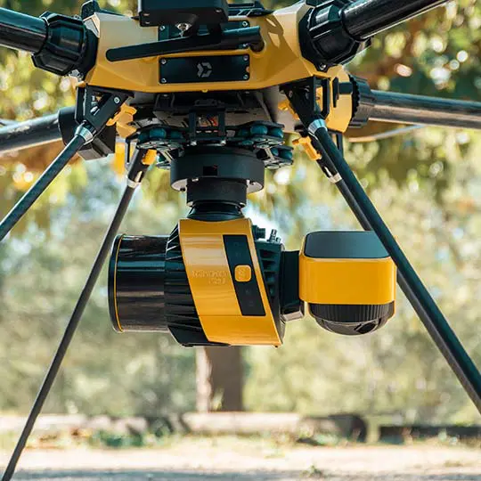
High-accuracy LiDAR payload with integrated IMU and RGB camera. Delivers survey-grade point clouds for topographic mapping, corridor surveys, and forestry applications.
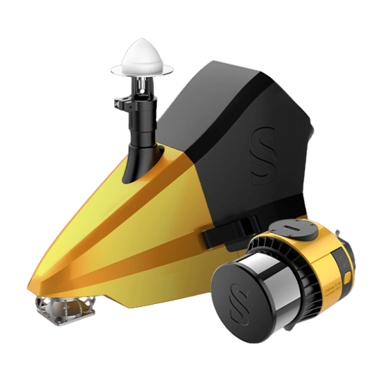
Seamlessly transition from land to water. The ultimate dual-purpose bathymetric and topographic mapping solution for comprehensive coastal and river surveys.
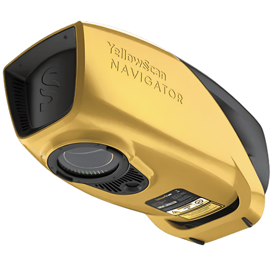
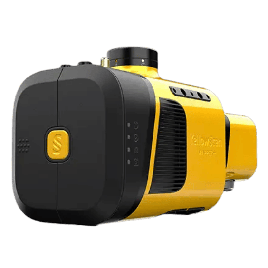
Uncompromising security meets survey-grade precision. An NDAA-compliant powerhouse built to deliver absolute confidence for sensitive, high-stakes operations.
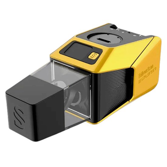
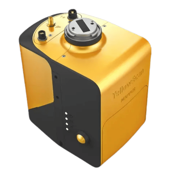
Engineered for the highest level of detail. Deliver maximum point-cloud precision and capture the finest structural nuances in complex, demanding environments.
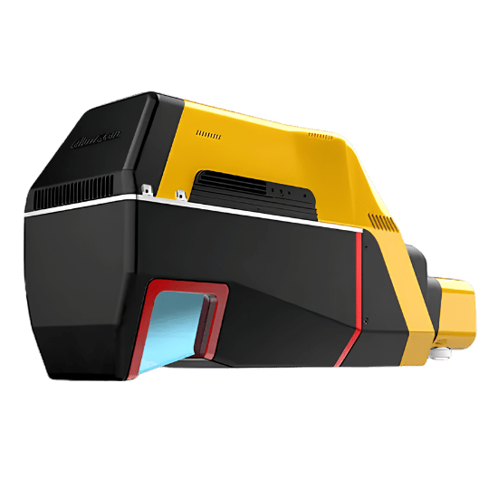
Push your operational boundaries. Optimized for extended flight times and long-range missions, delivering vast terrain coverage without sacrificing data integrity.
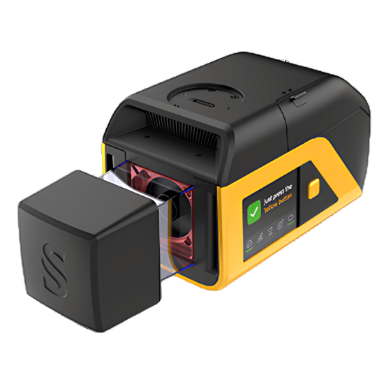
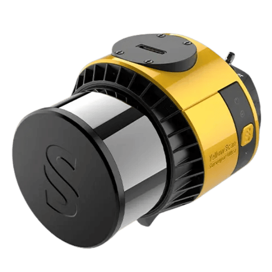
Punch above your weight class. A highly compact, lightweight payload that packs serious scanning power for high-density, professional-grade data collection.
Powerful photogrammetry software that transforms aerial and ground-based imagery into precise, georeferenced 2D mosaics, 3D models, and detailed point clouds for professional mapping and analytics.
The world’s most trusted flight data platform, providing advanced analytics, automated log syncing, and fleet maintenance tracking to ensure safer, more reliable, and compliant drone operations.
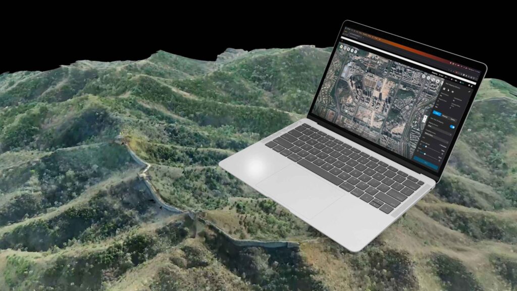
An all-in-one mapping and modeling solution that transforms aerial and lidar data into precise 2D maps and 3D reconstructions. Features intuitive mission planning, real-time mapping, and advanced analysis tools for diverse industrial applications.
A comprehensive situational awareness platform built for public safety. Centralizes real-time data, video streaming, and mission management into a single interface to empower agencies with faster, data-driven decision-making during critical operations.
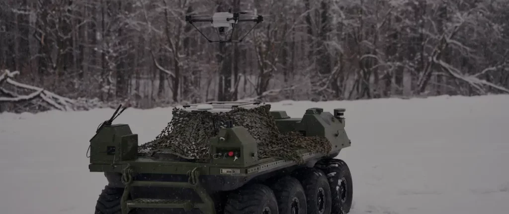
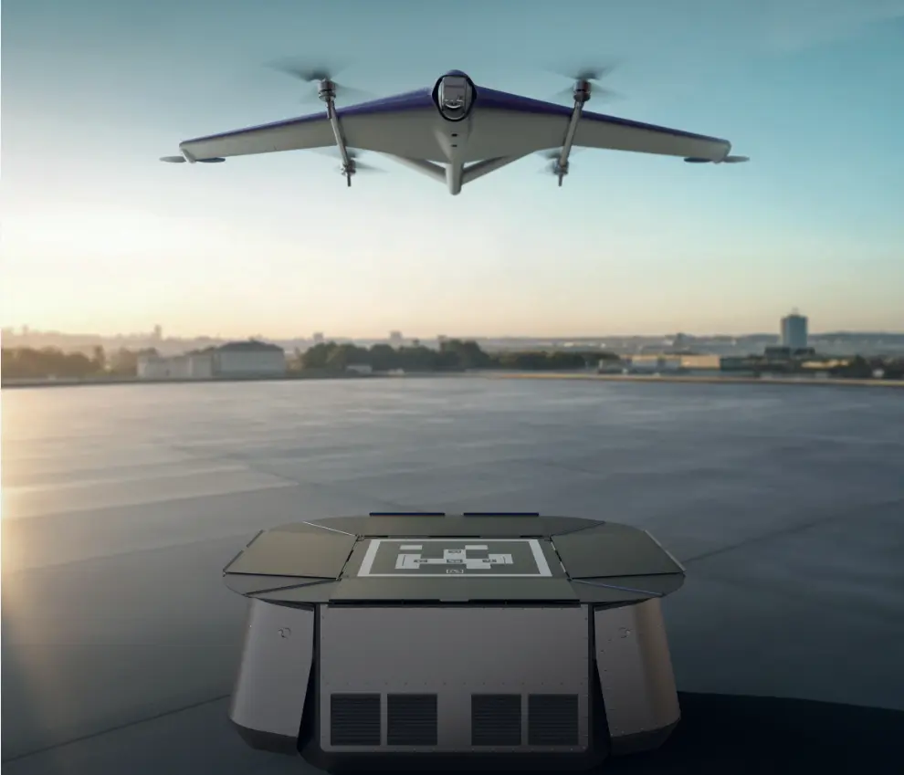
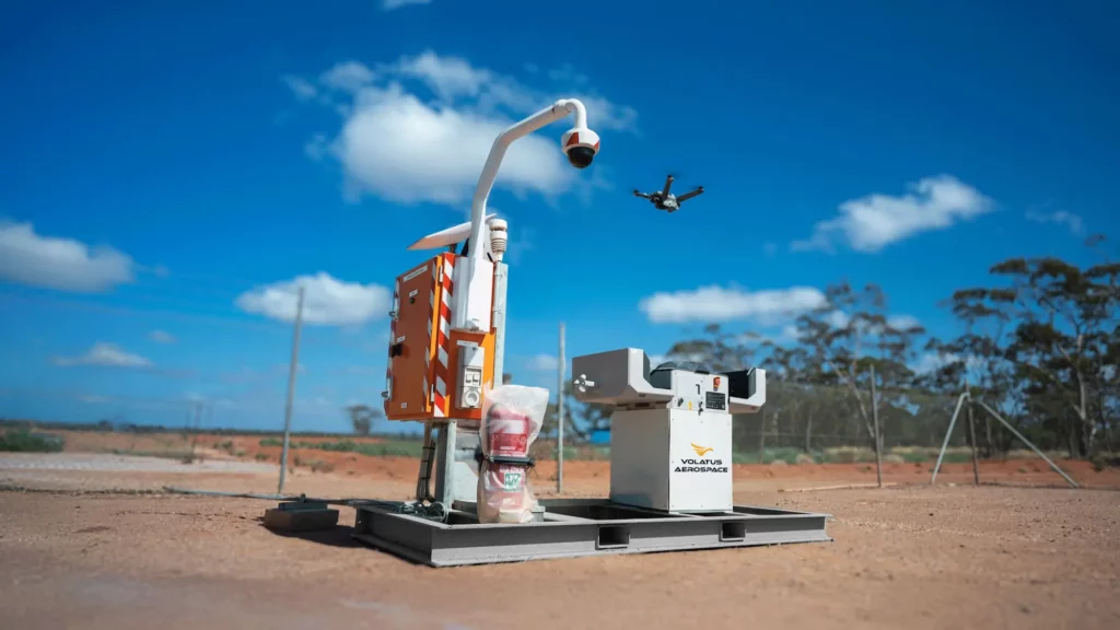
A fully autonomous, all-weather drone system designed for continuous unattended operations, featuring an advanced docking station with automated battery swapping, long-range relay networking, and rugged environmental protection on a transportable aluminum skid platform.
Aerial search and rescue payload that detects active cell phones, even through debris, buildings, and terrain. Dramatically reduces search time in missing persons and disaster response operations.
Professional drone LiDAR systems built for precision mapping across mining, civil engineering, and natural resource management. Compatible with multiple enterprise platforms.
Compact, crash-tolerant drone systems engineered for confined space inspections and close-range reconnaissance in environments inaccessible to standard platforms.