| Waterproofing | IP67 Equivalent (Fully submersible and floatable) |
|---|---|
| Wind Tolerance | Beaufort 7 (Near gale-force winds) |
| Wave Tolerance | Sea State 4 (Rough seas, up to 2.5m waves) |
| Ice & Temperature | Operates in extreme freezing conditions down to -10°C |
| Precipitation | Fully operational in heavy, continuous rain |
| Maximum Take-Off Weight (MTOW) | Under 2 kg |
|---|---|
| Deployment Time | 60 seconds from storage to flight |
| Endurance | 30 minutes of continuous flight |
| Operational Range | 3 Nautical Miles (NM) |
| Transmission | Fully integrated real-time ISR data transmission |
|---|---|
| GCS Interface | DIODON GCS MK.2 (Waterproof, glove-compatible, low cognitive load) |
| System Integration | Operates as a standalone tactical system or integrates seamlessly into broader naval command architectures |
Never lose a payload to the waves. The HP30 is engineered with an autonomous self-righting capability. If the drone is flipped by severe wave action during surface deployment or recovery, it automatically rights itself on the water and resumes operations without any external intervention.
Hardware and software built for the sea. The HP30 features highly resilient components and a maintenance architecture specifically adapted for maritime realities—overcoming limited vessel storage, constant salt and water exposure, and unstable offshore winds.
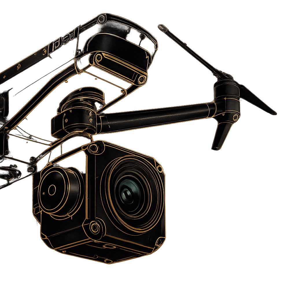
Unblinking aerial oversight. Outfitted with top-of-the-range Electro-Optical and Infrared (EO/IR) sensors, the HP30 excels at target detection, identification, and tracking in low-light and degraded weather. Thermal imaging cuts through sea haze, spray, and total darkness.
Total control in the storm. The Ground Control Station is fully waterproof, sealed, and robust enough to withstand rain and salt spray. Designed via continuous operator feedback, the glove-compatible interface drastically reduces cognitive load, enabling fast, precise control in high-stress scenarios.
Enable persistent monitoring of complex coastal areas. Rapidly detect, identify, and track illegal trafficking, unauthorized fishing, or environmental pollution.
Provide rapid, time-sensitive aerial visibility to locate survivors in the water, monitoring evolving situations and coordinating massive rescue efforts from the sky.
Gain critical situational awareness prior to boarding hostile or unknown vessels, maintaining persistent aerial oversight throughout the entire intervention phase.
Utilize the highly compact and discreet airframe for sensitive inland water operations, leveraging high-performance IR sensors for completely covert night-time infiltrations.
Discover integrated ISR, Counter-UAS, tactical logistics, and mission-ready unmanned systems designed for modern defence operations.
Fill out the form and our team will get back to you with the information you need.