Maximum Detection Range: Up to 950 m (even at 10% reflectivity)
Daily Mapping Efficiency: Up to 100 km² coverage
Vertical Accuracy: Better than 5 cm at 300m altitude
Pulse Rate & Returns: 2 million pulses/sec with up to 16 returns
Laser Beam Divergence: 0.25 mrad (captures ultra-fine details like power lines)
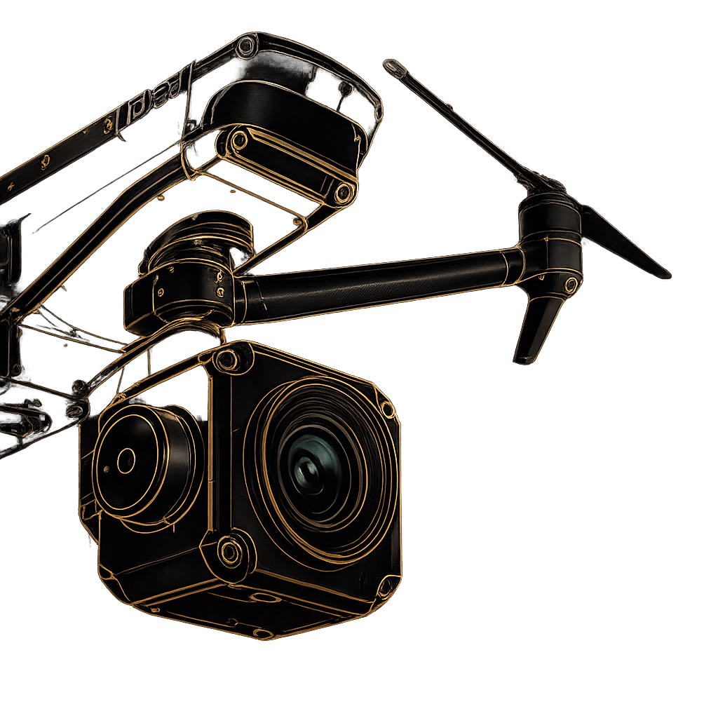
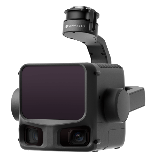
1535nm Long-Range LiDAR: Emits up to 2 million pulses per second and supports up to 16 returns for maximum penetration through dense environments.
Dual 100MP RGB Mapping Cameras: 4/3 CMOS sensors with a mechanical shutter and an ultra-wide 107° horizontal FOV.
High-Precision POS System: Achieves heading accuracy of 0.02° and pitch accuracy of 0.01° (post-processed).
Adapt to any mission with advanced scanning modes including Linear for high-accuracy terrain mapping, Star-Shaped for enhanced forest penetration, and Non-Repetitive scanning for complex structural and power line inspections. Paired with dual 100MP RGB sensors and advanced pixel binning technology, the system delivers exceptional 25MP imaging with superior color accuracy and crystal-clear photogrammetry even in challenging low-light environments.
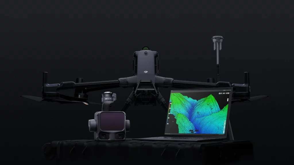
Experience a seamless end-to-end mapping workflow across DJI’s ecosystem. Generate real-time 3D SLAM point clouds in DJI Pilot 2, create highly realistic LiDAR Gaussian Splatting models in DJI Terra, and leverage intelligent semantic classification in DJI Modify for automatic detection of terrain, vegetation, and power lines. Enterprise-grade protection includes CFexpress™ memory card encryption, AES-256 encrypted video transmission with the Matrice 400, and one-click log clearing to safeguard sensitive operational data.
With an in-house team of drone experts with real-world mission experience across every sector, we can help you identify the best drone platforms and solutions that align with your specific goals.
Fill out the form and our team will get back to you with the information you need.