User-Friendly LiDAR for Efficient Data Capture
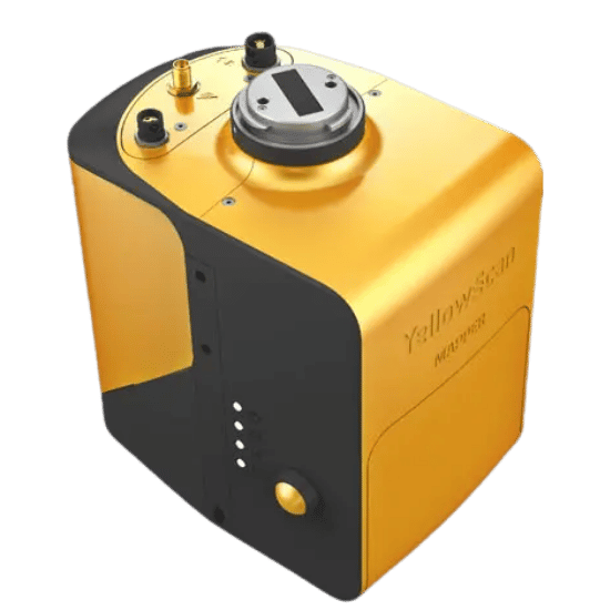
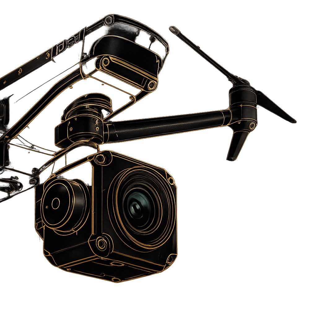
The YellowScan Mapper is designed to get you mapping quickly and efficiently. Engineered with industry-leading Applanix and Livox technology, this system removes the complexity from aerial surveying. It is the ultimate solution for operators looking to scale their workflows with mid-range capabilities and top-end point density.
Don’t let the user-friendly design fool you—the Mapper is built for the realities of the field. Featuring an IPW55 protection rating, it effortlessly withstands adverse weather events like sudden rain, ensuring your payload and your data remain secure even when conditions turn unpredictable.
| Precision | 4 cm |
|---|---|
| Accuracy | 4 cm |
| Typ. flight speed | 10 m/s |
| Max. AGL altitude | 70 m |
| Point density | 230 pts/sqm @ 60 m AGL 10 m/s |
| Laser range | Up to 130 m |
| Laser scanner | Livox Horizon |
| GNSS-Inertial solution | Applanix APX-15 UAV |
| Scanner field-of-view | 81.7° x 25.1° |
| Echoes per shot | Up to 2 |
| Shots per second | Up to 240 000 |
| Scanning frequency | Up to 10 Hz |
| Weight | 1.3 kg (2.9 lbs) batt. excl. |
| Size | L 143 x W 98 x H 149 mm |
| Autonomy | 1 hour typ. |
| Power consumption | 19 W |
| Operating temperature | -10 to +40°C |
Optimized for precision hovering, tight-quarter navigation, and rapid deployment in complex environments.
Built to withstand unique vibration profiles while leveraging the extended flight times and wind resistance of single-rotor platforms.
Optimized for rapid, large-scale linear mapping and wide-area coverage, maximizing the terrain captured during a single flight.
Everything you need, packed into carry-on luggage size. Includes the 1.3kg Mapper unit, a DJI Skyport or Gremsy adapter, a GNSS Antenna AV18, two 10.80V batteries with a charger, two massive 2TB Sandisk USB keys, and a rugged 3.2kg hardshell backpack.
Extract, process, and display data immediately after flight in just a few clicks. Your system includes a CloudStation Essential license and Applanix POSPAC UAV, featuring proprietary modules for Terrain modeling, Strip Adjustment, Colorization, and Classification.
Ready to fly out of the box. Every Mapper includes a factory Boresight Calibration Certificate, a 1-Year Warranty, 1-Year of Unlimited Technical Support, one remote Healthcheck, and a comprehensive 2-day training program conducted on-site or online.
Fill out the form and our team will get back to you with the information you need.