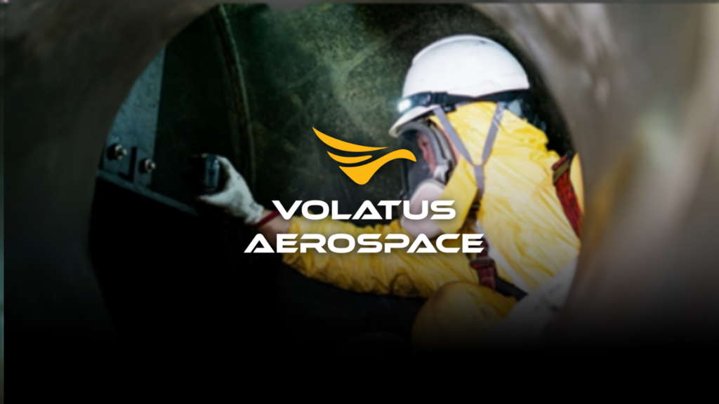
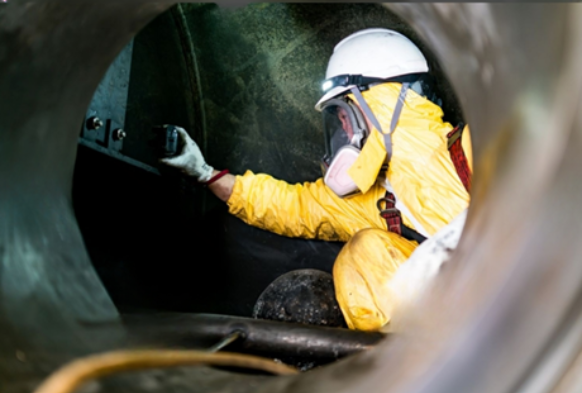
Mine and sewer shafts, tunnels, and deep urban structures are some of the hardest infrastructure assets to inspect. Restricted entry points, poor ventilation, unstable structures, and low or no lighting turns a routine inspection into a genuine safety operation before a single measurement is even taken. Traditionally, these inspections have relied on trained personnel entering the space directly effective, but slow, costly, and inherently risky.
Drone-based lidar inspection is changing. By combining 3D laser mapping with high-definition video and AI-assisted analysis, drones let operators fully assess a confined structure without ever sending a person into it.
Why Confined Space Inspection Matter
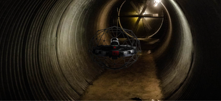
Confined space inspections pose challenges that are unique from traditional inspections. For deep urban infrastructure specifically, the stakes are higher still specialized drones equipped with lidar and high-definition video provide a safer alternative to manual inspections of structures like 200-foot sewer shafts, removing risks such as falls and exposure to hazardous gases.
At that depth, drone technology isn’t just a faster option; it’s often the only way to get a complete, accurate assessment without putting an inspector’s safety on the line.
Read more about our Aerial Monitoring Services
What Confined Space Inspections Look For
Confined structures present a specific set of obstacles that shape how an inspection has to be run:
- Limited access points: restricted entry points make it difficult for human inspectors to reach and examine every area.
- Hazardous environments: poor ventilation, toxic gases, or unstable structures create real risk for anyone entering.
- Inadequate lighting: many confined spaces lack proper lighting, which undermines a thorough visual evaluation.
- Complex geometry: tight corners and hard-to-reach areas make comprehensive coverage difficult with manual methods
Because these obstacles compound each other, a single inspection often needs to solve for access, visibility, and hazard detection all at once.
The Technology Behind It
Volatus Aerospace builds its confined space inspection capability around a few core technologies:
- Lidar mapping for detailed 3D environmental mapping that captures a structure’s exact shape and dimensions
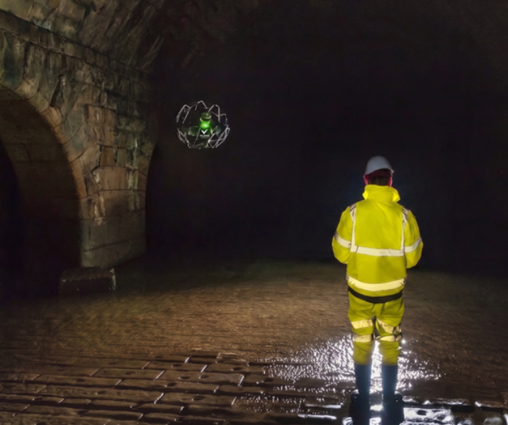
- High-definition video paired with powerful onboard lighting for clear, detailed imaging even in low-light conditions
- AI and machine learning to quickly identify and document anomalies during data collection
- Additional tools as needed thermal, magnetometry, ground-penetrating radar, multispectral, and gas detection sensors for assessments that go beyond basic visual inspection
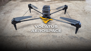
- Compact, crash-tolerant drone platforms engineered specifically for confined space inspection and close-range reconnaissance in environments inaccessible to standard aircraft
Integrating lidar and video allows for detailed 3D mapping and comprehensive visual assessments together, revealing hidden issues that a camera alone would miss.
Turning Flight Data into Actionable Insights
Collecting the data is only part of the job. Volatus runs confined space projects through a structured process, strategic planning with the client’s team to define scope and safety protocols, comprehensive data collection using drone-mounted sensors, and expert analysis where a team validates every data point before producing a full report. The real value is in the data. Our team optimizes, corrects and validates it so what you get is accurate and dependable, and we can deliver it as a visual interpretation report in PDF, complete with a georeferenced 3D model that lets infrastructure teams see the asset and flag problem areas for themselves. That report is built for understanding and prioritizing, not as a certified engineering or legal document. When it comes to repairs or formal assessments, we bring in qualified engineering partners to turn the findings into recommendations teams can act on.
Scale Beyond Confined Spaces
Volatus’s lidar capability isn’t limited to shafts and tunnels. The company integrates aerial, terrestrial, bathymetric, and subsurface data collection with GIS, 3D, AutoCAD, and lidar software to produce usable deliverables with the capacity to map up to 1,500 acres per day across the United States, Canada, and the Caribbean. That same underlying technology and expertise scales down to the precision needed for a single 200-foot shaft.
Why Volatus Aerospace
Confined space inspection isn’t a side capability bolted onto a broader drone program; it takes purpose-built hardware, trained pilots, and a data pipeline that turns a 3D scan into a decision-ready report. Volatus brings all three together: crash-tolerant platforms built for close-range, low-visibility environments; a structured process from planning through expert-validated reporting; and lidar expertise that scales from a single sewer shaft to 1,500 acres a day. That combination of precision at small scale and capacity at large scale is what lets infrastructure operators trust the data enough to act on it.
Conclusion
Confined space infrastructure will keep aging, and manual inspection will keep carrying the same risks it always has. Drone-based lidar removes the person from that equation without removing the insight giving infrastructure operators a complete, measurable picture of a structure condition, faster and safer, without ever putting anyone inside it.
Ready to explore a safer, more efficient approach to confined space infrastructure inspections? Reach out to the Volatus Aerospace team today to learn how drone-based lidar, advanced sensors, and 3D data can support your next inspection project.