Industrial operators are responsible for assets that are often remote, hazardous, or spread across enormous footprints substations behind live electrical equipment, refineries running on heat and pressure, solar farms covering thousands of acres, mining sites that change shape daily. Ground crews and periodic site walks can’t keep pace with any of them.
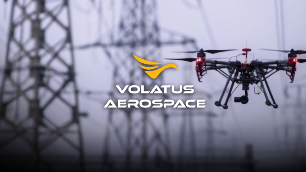
Aerial monitoring is changing that by combining crewed and remotely piloted aircraft with advanced sensors and AI-powered analytics, Volatus Aerospace gives operators continuous, real-time visibility into the condition and security of their most critical assets.
Why Continuous Monitoring Matters
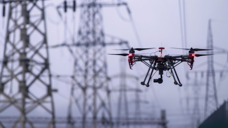
Modern surveillance operations demand more than an annual inspection. Operators need scalable monitoring that supports infrastructure operators, industrial facilities, and remote operations teams with real-time airborne visibility. At scale, aerial monitoring reduces personnel exposure in hazardous, inaccessible, or geographically distributed environments while covering ground a walking crew simply can’t.
What Aerial Monitoring Looks For
The specific risks change by facility type, but the goal is the same: catch problems before they escalate.
- Substations: heat anomalies in transformers, breakers, and connections, flagged through thermal sensing before they cause equipment failure
- Refineries: pipeline leaks, methane and gas indicators, corrosion, and structural anomalies along process infrastructure
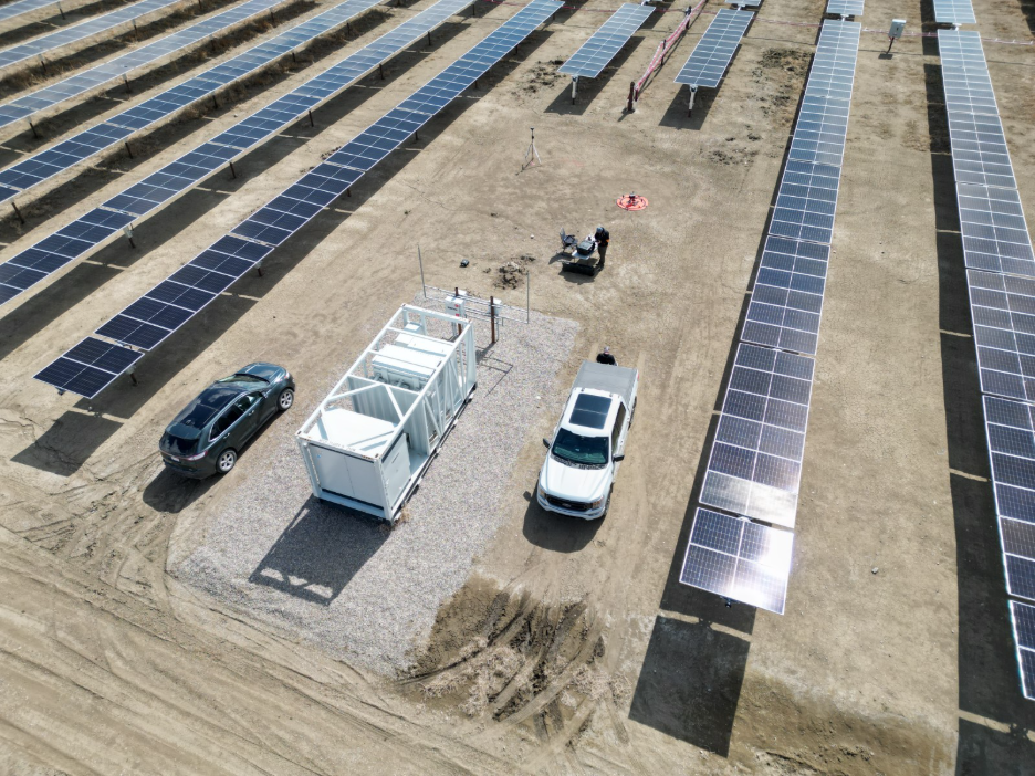
- Solar farms: underperforming or defective panels, hotspots, and post-commissioning defects across large-scale installations
- Mining sites: stockpile volumes, site contours, and safety hazards across constantly shifting terrain
Because these risks vary so widely, a single monitoring program typically draws several sensor technologies rather than one.
Read more about our Aerial Monitoring services
The Technology Behind Aerial Monitoring
Volatus builds its industrial monitoring programs around an integrated technology stack:
- RGB/HD visual imaging for real-time observation and visual intelligence
- Thermal imaging for heat anomaly detection and low-visibility monitoring
- Gas detection sensors for methane and emissions identification, geo-located for precision
- AI-based detection and analytics for automated anomaly identification and object recognition
- RTK/PPK positioning for survey-grade, repeatable data collection
- Live video streaming to feed remote monitoring and coordination in real time
Together, these tools let a single flight capture geo-located data on the exact location and nature of a hazard, not just a general image of the site.
Turning Flight Data into Actionable Insights
Collecting the data is only half the job. Volatus’s proprietary AIRS (Aerial Intelligence Reporting System) processes inspection data and converts it into compliance-ready reports. For a recent solar farm inspection covering 2,250 acres, over 400MW of capacity, and 762,750 panels across 16 fields and one substation, AI-powered software was applied to process the resulting data and pinpoint anomalies and defects with precision turning a massive data set into a short list of issues worth acting on.
Combining Crewed Aircraft and Drones
Drones don’t replace every flight; they work alongside crewed aircraft. Crewed platforms efficiently cover long corridors and large sites, while drones perform detailed, close-range inspection once a potential issue is flagged. This hybrid model improves inspection quality while reducing unnecessary flight hours and operational costs. Volatus is also expanding Beyond Visual Line of Sight (BVLOS) operations, run through a centralized Operations Control Centre, to extend monitoring range across remote and distributed sites.
The Scale of Adoption
Volatus has surpassed 75,000 flight hours conducting pipeline integrity monitoring across North America. Its mining division delivers volumetric calculations within 3% accuracy for stockpiles of aggregate, asphalt, and coal. Its solar inspection work has covered hundreds of megawatts of capacity in a single contract. That operational depth is what lets a monitoring program move from occasional spot-checks to a genuinely proactive, data-driven cadence.
Key Takeaways for Industrial Operators
- Data matters as much as the drone. Platforms like AIRS turn raw inspection data into actionable, compliance-ready intelligence.
- Multi-sensor coverage is more effective. Visual, thermal, and gas detection technologies each catch different types of risk.
- Continuous monitoring improves reliability. Frequent visibility catches problems before they become safety or environmental hazards.
- Scale is proven, not theoretical. Tens of thousands of flight hours and multi-hundred-megawatt inspection contracts back up the approach.
As industrial sites grow larger and more distributed, continuous aerial monitoring is becoming standard practice rather than a nice-to-have. By combining crewed and remotely piloted aircraft, multi-sensor data acquisition, and AI-assisted analytics, Volatus Aerospace turns hard-to-reach; high-risk assets into a steady stream of decision-ready intelligence.
From Inspection to Program
A single flight is useful. A repeatable, standardized program is what actually changes how an operator manages risk. The facilities that benefit most from aerial monitoring are not the ones that fly once and file the report. They are the ones that build monitoring into their operating rhythm, so that this month’s data can be compared against last months, and a developing problem shows up as a trend rather than a surprise.
That is also where the conversation gets specific to each operator: how often to fly, which sensors to prioritize, how the data should reach the teams who need it, and how to scale a program across a portfolio of sites rather than a single facility. We will go deeper on how Volatus builds and delivers those programs in an upcoming post.
In the meantime, if you manage substations, refineries, solar farms, or mining sites and want to talk through what continuous aerial monitoring could look like for your assets, get in touch with our team.