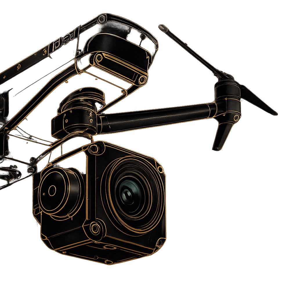
Designed to Innovate. Built for Precision.
Complete, easy-to-use LiDAR solutions for professionals requiring uncompromising performance, robustness, and high accuracy for 3D mapping.
Robust systems featuring embedded laser scanners, INS, GNSS, and powerful onboard computing, engineered to survive the field.
Proprietary CAD/GIS-ready platform for real-time data synchronization, processing, visualization, and export. No third-party pipeline required.
Expert hands-on assistance covering survey planning, data classification, and quality control — from first flight to final deliverable.
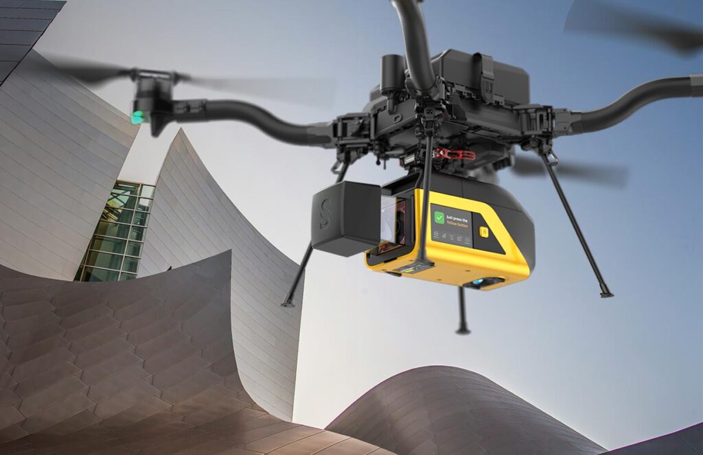
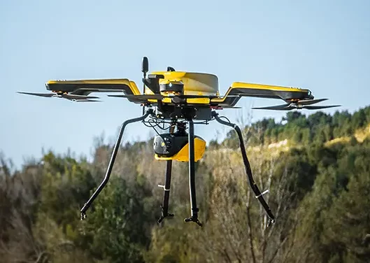
Seamlessly transition from land to water. The ultimate dual-purpose bathymetric and topographic mapping solution for comprehensive coastal and river surveys.
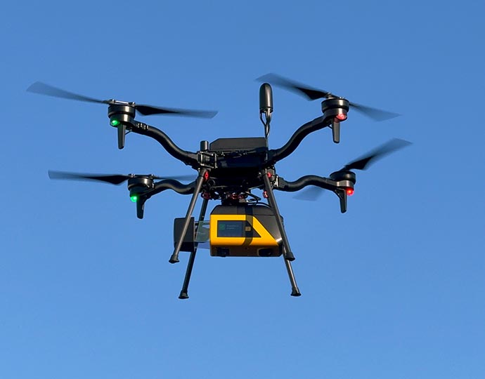
Uncompromising security meets survey-grade precision. An NDAA-compliant powerhouse built to deliver absolute confidence for sensitive, high-stakes operations.
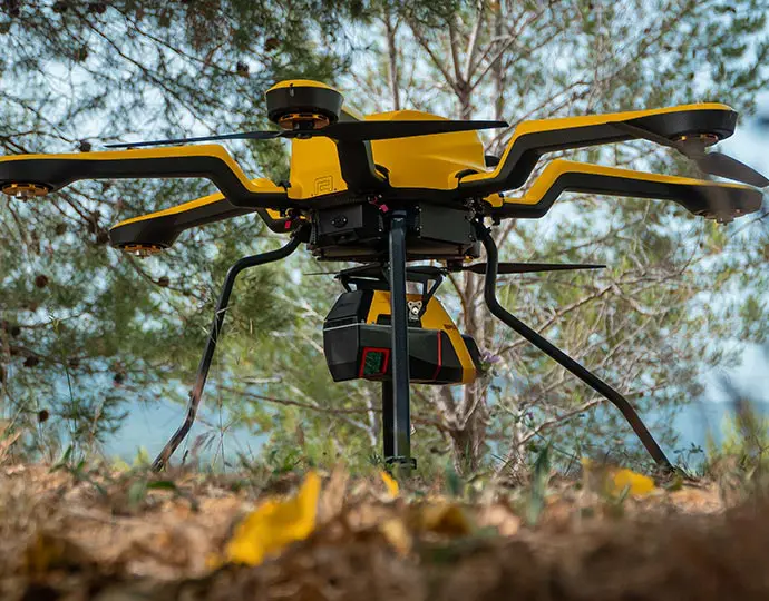
Engineered for the highest level of detail. Deliver maximum point-cloud precision and capture the finest structural nuances in complex, demanding environments.
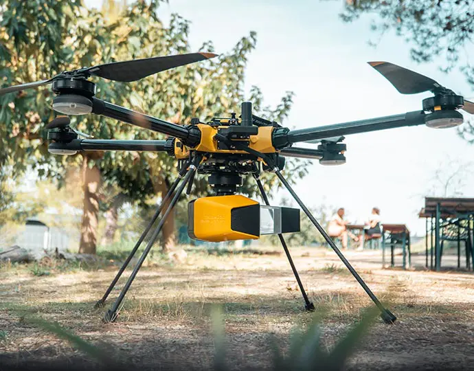
Push your operational boundaries. Optimized for extended flight times and long-range missions, delivering vast terrain coverage without sacrificing data integrity.
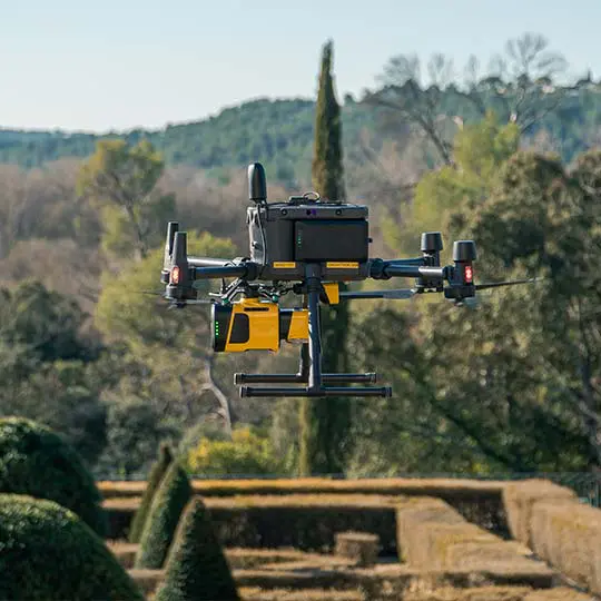
Punch above your weight class. A highly compact, lightweight payload that packs serious scanning power for high-density, professional-grade data collection.
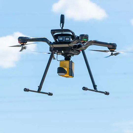
Join the LiDAR revolution. The highly accessible, easy-to-deploy entry point for rapid, accurate, and incredibly cost-effective 3D mapping.
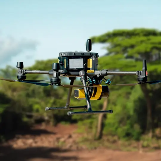
The workhorse of high-density mapping. Combines ultra-lightweight flexibility with massive productivity for the most demanding enterprise workflows.
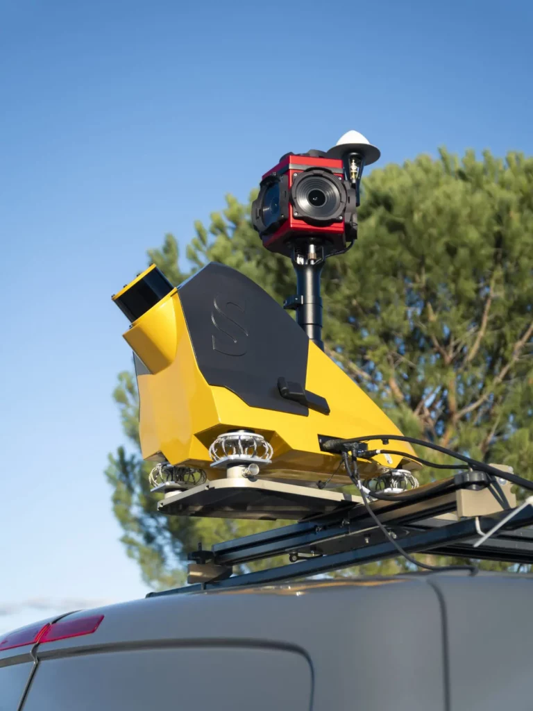
Maximum deployment versatility. A transformative, dual-use system designed for both aerial UAV flights and seamless vehicle-mounted ground mapping.
350+ organizations worldwide rely on YellowScan data to make critical decisions — from infrastructure asset management to environmental conservation. Every sector demands different accuracy thresholds, pulse rates, and canopy penetration. YellowScan’s lineup covers them all.
Penetrate dense forest canopies with high pulse density scanning to map undergrowth, terrain, and biomass changes that satellite photography cannot reach. Ideal for biodiversity monitoring, carbon stock assessments, and wildfire risk modeling.
Generate survey-grade, CAD-ready 3D topographic models for roads, railways, dams, bridges, and utilities. Deliver data directly into BIM and GIS workflows without re-processing overhead or third-party software dependencies.
Safely calculate stockpile volumes, monitor pit progression, and inspect critical infrastructure without personnel in hazardous zones. Automate volumetric reporting with survey-grade accuracy that satisfies regulatory compliance requirements.
Discover buried ruins, ancient earthworks, and subsurface features with survey-grade LiDAR that cuts through centuries of vegetation growth. Trusted by research institutions and cultural heritage preservation organizations worldwide.
Fill out the form and our team will get back to you with the information you need.