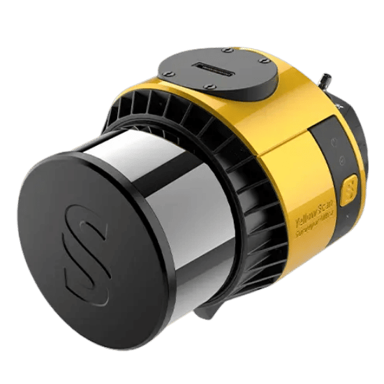
The YellowScan Surveyor Ultra is the definitive solution for complex, multi-dimensional environments. Engineered with industry-leading SBG Systems and Hesai technology, this exceptionally light payload (under 1kg) redefines what is possible in enterprise 3D modeling.
With its massive 360° field of view, the Surveyor Ultra doesn’t just map the ground—it captures the world vertically. Whether you are inspecting critical infrastructure, monitoring coastal erosion, or modeling steep mountainous terrain, this system delivers uncompromising survey-grade accuracy with absolute ease of operation.
| Precision | 3 cm |
|---|---|
| Accuracy | 2.5 cm |
| Typ. flight speed | 10 m/s |
| Max. AGL altitude | 140 m |
| Point density | 60 pts/sqm @ 100m AGL 10 m/s |
| Laser range | Up to 300m |
| Laser scanner | Hesai XT32M2X |
| GNSS-Inertial solution | SBG Quanta Micro |
| Scanner field-of-view | 360° x 40.3° |
| Echoes per shot | Up to 3 |
| Shots per second | Up to 640 000 |
| Scanning frequency | Up to 20 Hz |
| Integrated Camera | Global Shutter |
| Weight | 0.98 kg (2.2 lbs) batt. excl. |
| Size | L 153 x W 113 x H 117 mm |
| Autonomy | 1 hour typ. |
| Power consumption | 23 W |
| Operating temperature | -10 to +40°C |
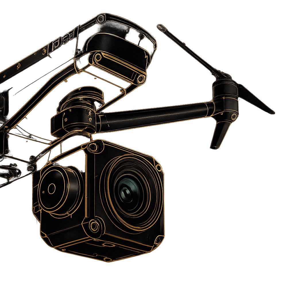
This system offers unmatched flexibility for a massive diversity of missions, sizes, and reliefs. Utilizing a “quick release” Gremsy or Skyport attachment, the Surveyor Ultra transitions instantly between platforms. Fly when you can. Drive when you must.
Ideal for small areas or tight vertical sections
Optimized for surveying massive terrestrial areas
Maximum stability in complex wind environments
Fully compatible with the YellowScan Fly&Drive mobile mapping pod
An ultra-light, field-ready powerhouse. Includes the sub-1kg Surveyor Ultra unit, a dedicated GNSS Antenna AV18, two 10.80V batteries with a charger, two 256GB Samsung USB keys, and a rugged 3.2kg hardshell backpack.
Generate data in just a few clicks. Includes a CloudStation Essential license and SBG Qinertia UAV. Increase productivity immediately after flight acquisition with proprietary modules for Terrain modeling, Strip Adjustment, Colorization, and Classification.
Pre-calibrated and ready for immediate deployment. Every Surveyor Ultra includes a Boresight Calibration Certificate, a 1-Year Warranty, 1-Year of Unlimited Technical Support, one remote Healthcheck, and a comprehensive 2-day training program.
Fill out the form and our team will get back to you with the information you need.