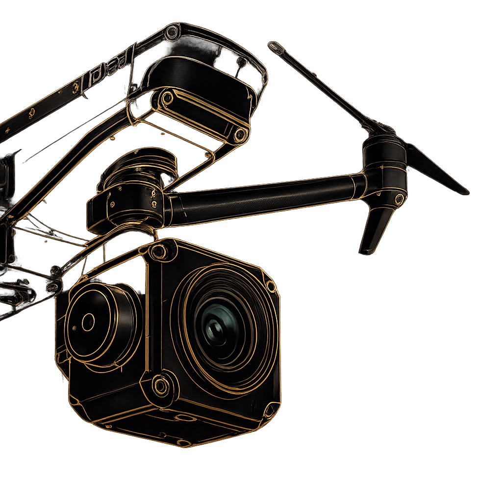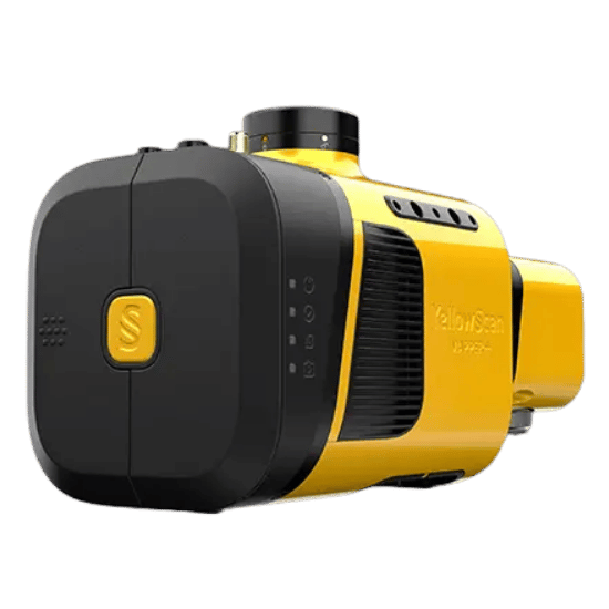
The YellowScan Mapper+ redefines what is possible with compact LiDAR. Weighing an astonishingly light 1.1kg (2.4lbs), it is the lightest three-echo, high-density system currently available. Engineered to strike the perfect balance between cost, accuracy, and range, it delivers survey-grade results without weighing down your aircraft.
Designed for absolute maximum field productivity, the entire system fits into a single hardshell backpack. It is the size of standard carry-on luggage, meaning your enterprise mapping solution can now fit in any airline overhead compartment—ready to deploy anywhere in the world at a moment’s notice.
| Precision | 3.5 cm |
|---|---|
| Accuracy | 4 cm |
| Typ. flight speed | 10 m/s |
| Max. AGL altitude | 100 m |
| Point density | 170 pts/sqm @ 100m AGL 10 m/s |
| Laser range | Up to 230 m |
| Laser scanner | Livox AVIA |
| GNSS-Inertial solution | Applanix APX-15 UAV |
| Scanner field-of-view | 70.4° x 4.5° |
| Echoes per shot | Up to 3 |
| Shots per second | Up to 240 000 |
| Scanning frequency | Up to 10 Hz |
| Weight | 1.1 kg (2.4 lbs) batt. excl. |
| Size | L 150 x W 104 x H 132 mm |
| Autonomy | 1 hour typ. |
| Power consumption | 35 W |
| Operating temperature | -10 to +40 °C |
Optimized for precision hovering, tight-quarter navigation, and rapid deployment in complex environments.
Built to withstand unique vibration profiles while leveraging the extended flight times and wind resistance of single-rotor platforms.
Optimized for rapid, large-scale linear mapping and wide-area coverage, maximizing the terrain captured during a single flight.
Everything you need in one carry-on backpack. Includes the ultra-light 1.3kg Mapper+ unit, a dedicated GNSS Antenna AV18, two 10.80V batteries with a charger, two massive 2TB Sandisk USB keys for data capture, and the custom 3.2kg hardshell backpack.
Extract, process, and display your point cloud data immediately after landing. Your system includes a CloudStation Essential license and Applanix POSPAC UAV. Simplify complex workflows with proprietary modules for Terrain modeling, Strip Adjustment, Colorization, and Classification.
Ready for immediate global deployment. Every Mapper+ includes a Boresight Calibration Certificate, a 1-Year Warranty, 1-Year of Unlimited Technical Support, one remote Healthcheck, and a comprehensive 2-day training program conducted on-site or online.
Fill out the form and our team will get back to you with the information you need.