Long-Range LiDAR for High-Performance Surveying
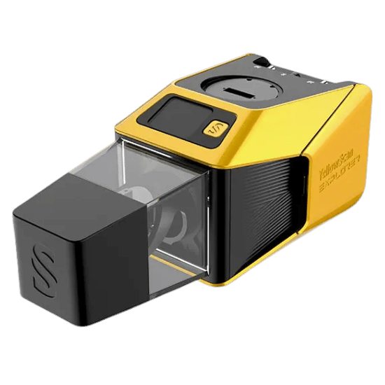
The YellowScan Explorer is the result of years of relentless research and development alongside the world’s leading aerospace and utility giants. Originating from the European-funded FRELON project, the Explorer was developed in direct collaboration with Airbus Defense and Space, Delair, EDF, and SNCF.
The result is an ultra-compact, long-range platform that allows operators to fly higher and faster without compromising data integrity. Capable of mapping vast areas from altitudes up to 300m, the Explorer is the ultimate tool for generating massive digital twins of assets, infrastructure, and complex project sites.
| Precision | 2 cm |
|---|---|
| Accuracy | 2 cm |
| Typ. flight speed | 10 m/s |
| Max. AGL altitude | 300 m |
| Point density | 50 pts/sqm @ 100m AGL 10 m/s |
| Laser range | Up to 500 m |
| Laser scanner | A YellowScan development |
| GNSS-Inertial solution | SBG Quanta Micro |
| Scanner field-of-view | 360° |
| Echoes per shot | Up to 5 |
| Shots per second | Up to 500 000 |
| Scanning frequency | Up to 165 Hz (selectable) |
| Integrated Camera | Built-in 2MP global shutter |
| Weight | 1.8 kg (4.0 lbs) batt. excl. |
| Size | L 270 x W 118 x H 135 mm |
| Autonomy | 1 hour typ. |
| Power consumption | 55 W |
| Operating temperature | -10 to +40°C |
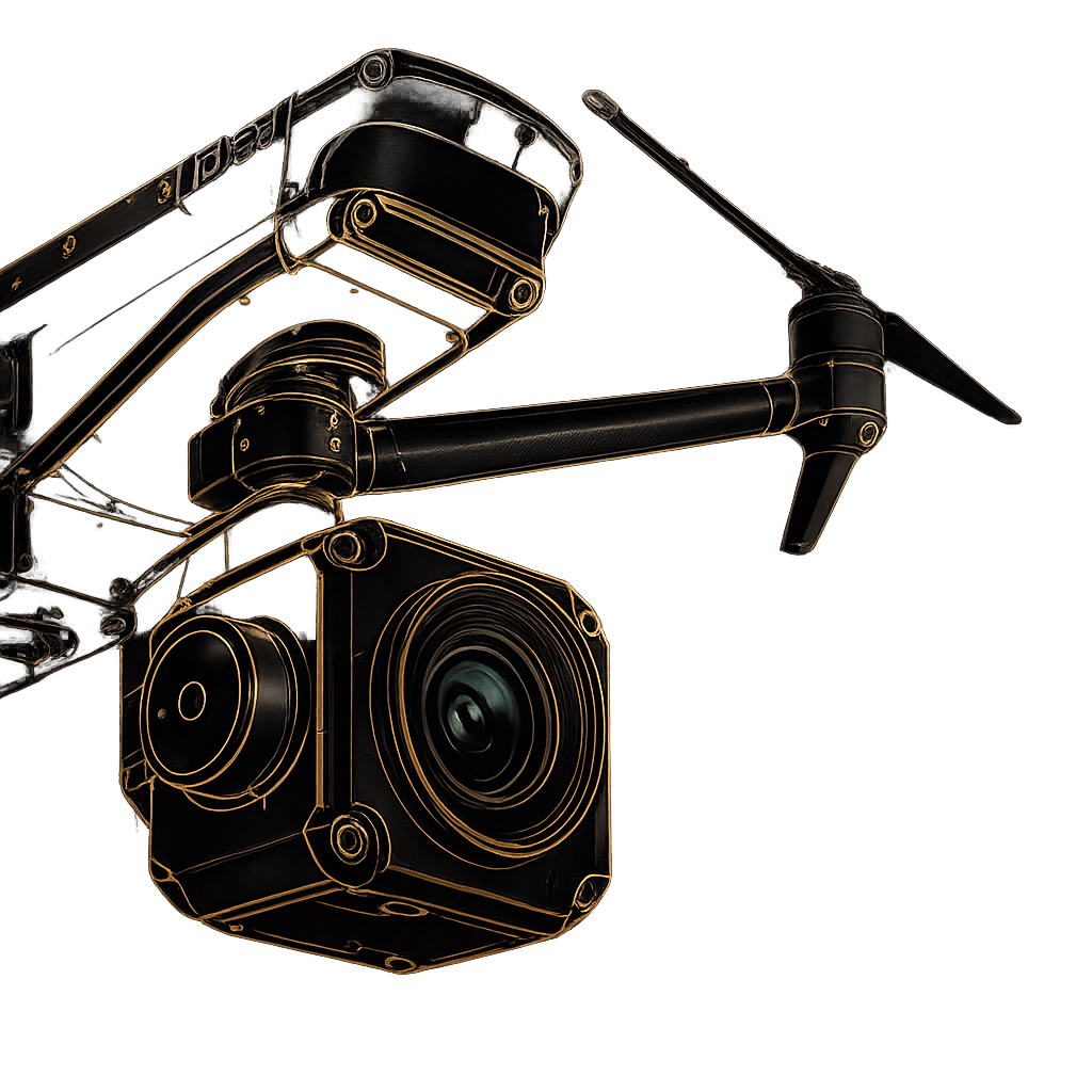
Complete more mission profiles with this compact LiDAR solution that can be mounted on light manned aircraft, helicopters or UAV platforms. When it comes to drones, the “quick release” attachment allows for easy mounting on a wide range of drones. Two options: Gremsy or Skyport, which can be interchanged depending on the drone you’re using.
A comprehensive, field-ready kit. Includes the ultra-light 1.8kg Explorer Unit, a specialized GNSS Antenna AV18, four 11.1V batteries with a charger, two 256GB Samsung USB keys for data capture, and a custom hardshell backpack for rugged, mobile transport.
Extract, process, and visualize immediately after landing. Your system includes a CloudStation Essential license and an SBG Qinertia UAV license. Simplify your workflow with proprietary modules for Terrain modeling, Strip Adjustment, Colorization, and detailed Classification.
Pre-calibrated and ready to fly upon receipt. Every Explorer comes with a Boresight Calibration Certificate, a 1-Year Warranty, 1-Year of Unlimited Technical Support, one remote Healthcheck, and an intensive 2-day training program conducted on-site or online.
Fill out the form and our team will get back to you with the information you need.