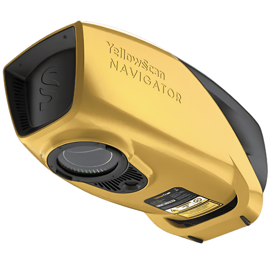
The YellowScan Navigator represents a paradigm shift in hydrographic surveying. Engineered entirely in-house, this lightweight, highly advanced bathymetric LiDAR system is designed to seamlessly map underwater and ground topography in a single flight.
With a simple one-button operation, the Navigator eliminates the gap between terrestrial and sub-aquatic data. Whether you are surveying shorelines, estuaries, or gravel pits, this payload delivers survey-grade precision without compromising on drone platform versatility or flight endurance.
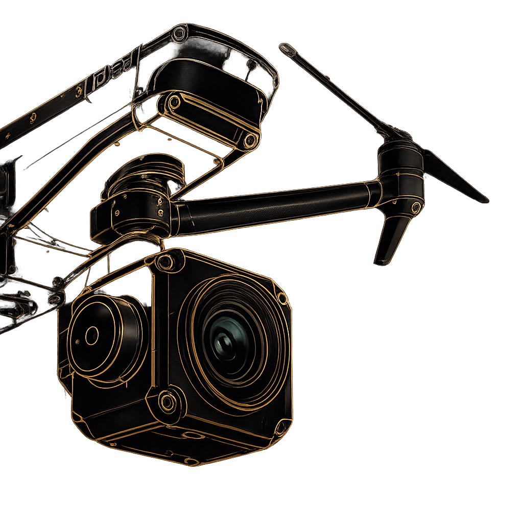
Optimized for precision hovering, tight-quarter navigation, and rapid deployment in complex environments.
Built to withstand unique vibration profiles while leveraging the extended flight times and wind resistance of single-rotor platforms.
Everything required for immediate deployment. Includes the 3.7kg Navigator Unit, quick-release Gremsy Adapter, dedicated GNSS Antenna AV18, two 14.4V extended batteries, laser safety goggles, and a rugged Pelicase for secure transport.
Transform raw data into actionable intelligence. Your system includes a comprehensive CloudStation Essential License, an SBG Qinertia UAV License, and two 1TB YellowScan USB keys for massive local data storage. (CloudStation Pro available as an upgrade).
Fly with absolute confidence. Every Navigator comes with a Boresight Calibration Certificate, 1-Year Warranty, 1-Year of Unlimited Technical Support, a Remote Healthcheck, and a comprehensive 2-day in-person or online training program for your flight crews.
Fill out the form and our team will get back to you with the information you need.