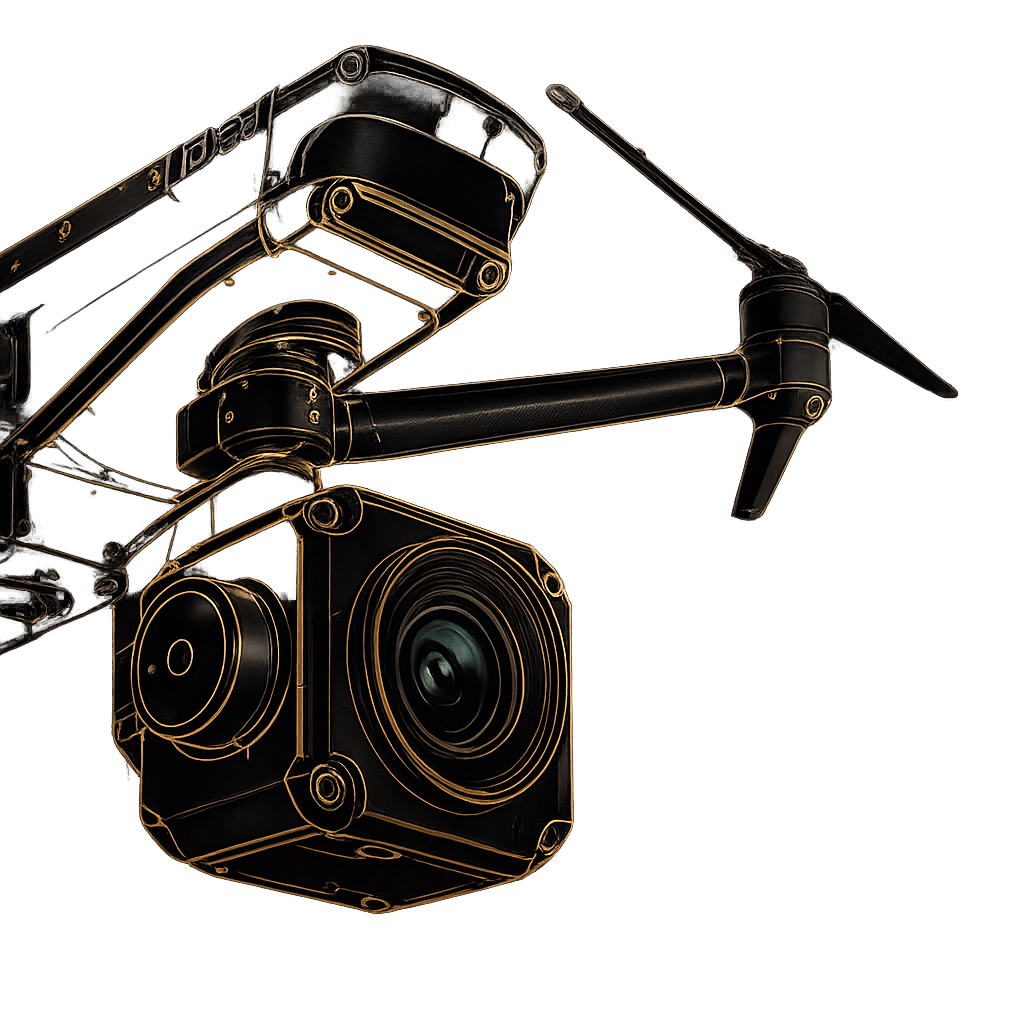
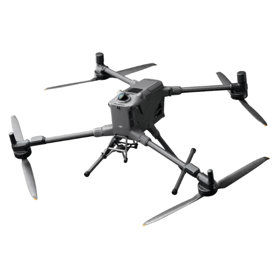
Maximum Flight Time: Up to 59 minutes
Payload Capacity: Up to 6 kg (Supports 7 simultaneous payloads)
Transmission Range: Up to 40 km with O4 Enterprise
Environmental Protection: IP55 Rating (Dust and heavy rain resistant)
Top Speed: Up to 25 m/s
Navigate complex environments with absolute confidence. The M400 integrates rotating LiDAR, high-precision mmWave radar, and 4 full-color low-light fisheye sensors to detect obstacles as small as 12mm—even in complete darkness or dense fog.
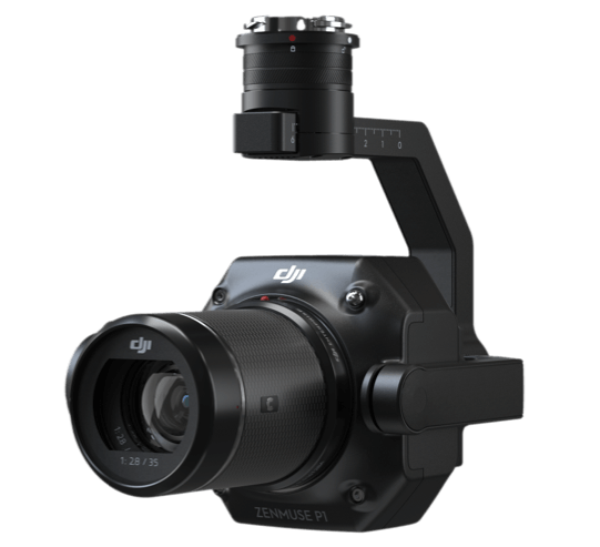
Adapt to any mission profile instantly. The Matrice 400 allows for seamless switching between single or dual downward gimbals and an additional topside connector, allowing operators to mount up to seven unique payloads simultaneously.
Maintain continuous connectivity in challenging terrain. A built-in relay module allows the M400 to act as a signal hub, ensuring strong video transmission for other drones operating behind mountainous obstacles or inside urban canyons.
Execute missions with unparalleled precision. Smart AR Projection overlays critical flight paths, obstacle warnings, and real-time landmark data directly onto the DJI RC Plus 2 controller, while Real-Time Terrain Follow automatically adjusts altitude for consistent mapping.
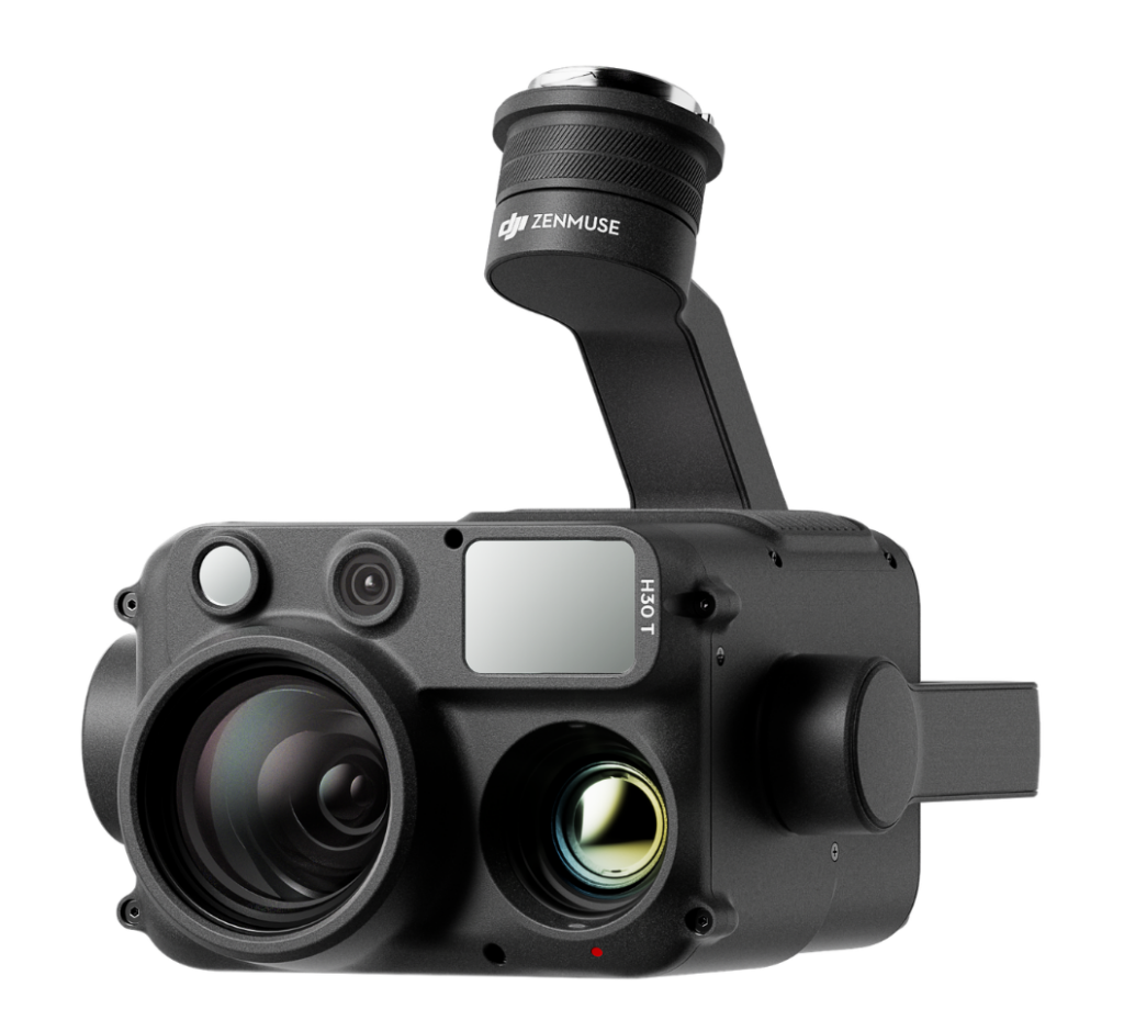
Integrates a wide-angle camera, high-power zoom, IR thermal, laser range finder, and NIR auxiliary light for comprehensive day-or-night situational awareness.
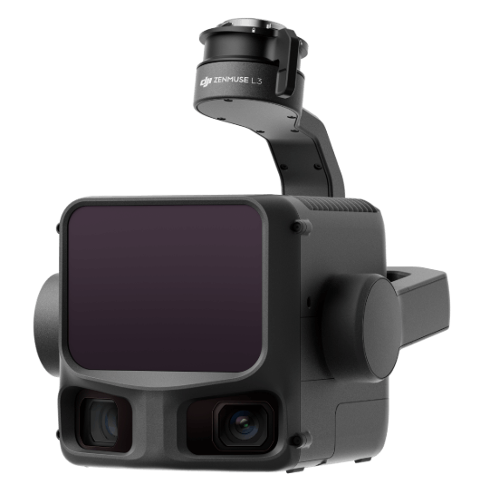
With an in-house team of drone experts with real-world mission experience across every sector, we can help you identify the best drone platforms and solutions that align with your specific goals.
Fill out the form and our team will get back to you with the information you need.