DJI

MATRICE 4 SERIES

The Age of Intelligent Flight

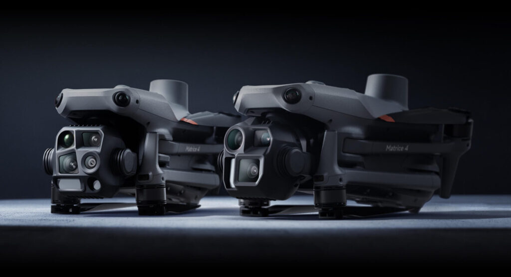
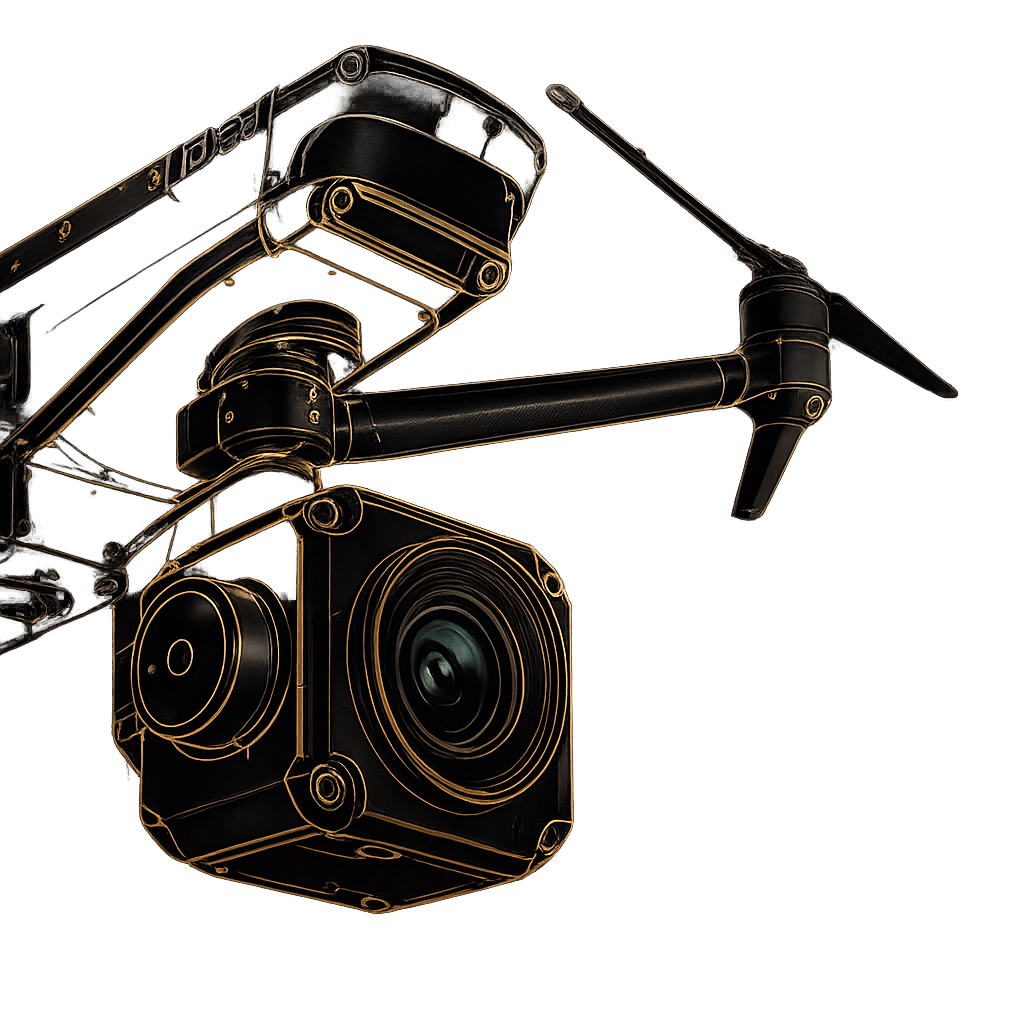
Meet the DJI Matrice 4 Series

The DJI Matrice 4 Series introduces a new era of compact, intelligent multi-sensor flagship drones. Engineered specifically for enterprise applications, this series delivers enhanced sensing, ultra-safe flight operations, and significantly upgraded accessories to tackle the most demanding industry workflows.
Whether you are conducting critical search and rescue missions in complete darkness or executing high-speed, centimeter-level precision mapping for construction, the Matrice 4 Series provides unparalleled operational efficiency, situational awareness, and data security.

Matrice

4T

Mission-Ready Payload

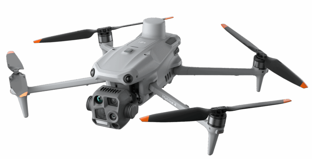
Master the Elements with the Matrice 4T

Built for electricity, emergency response, public safety, and forestry conservation. The Matrice 4T integrates an uncooled VOx Microbolometer thermal camera, a 48MP Super Resolution telephoto lens, and an NIR auxiliary light for absolute 24/7 tactical superiority. With smart low-light photo capabilities and full-color night scene mode, you can easily locate subjects and execute missions in complete darkness.

Key Features

  • Transmission Distance: Up to 25 km via O4 Enterprise Video Transmission (8-antenna system)

  • Obstacle Sensing: 6 high-definition low-light fisheye sensors for omnidirectional avoidance

  • Takeoff Speed: 15-second rapid takeoff via GNSS + Vision Fusion Positioning

  • Telephoto Capability: Detects targets from 10 meters away; reads signs up to 250 meters away

  • Data Security: AES-256 Video Transmission Encryption and Local Data Mode
Matrice

4E

Mission-Ready Payload

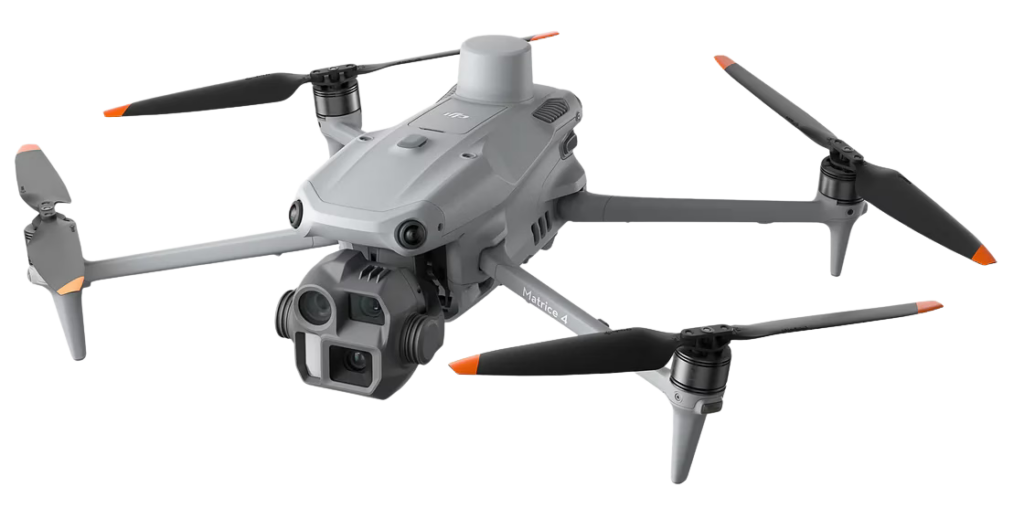
Precision Surveying with the Matrice 4E

Designed exclusively for geospatial applications, surveying, construction, and mining. The Matrice 4E is built to dramatically accelerate data collection and unlock centimeter-level mapping precision. Featuring 0.5-second rapid interval shooting and 5-directional oblique capture, operators can seamlessly map up to 2.8 square kilometers in a single flight without the need for additional elevation optimization routes.

Key Features

  • Mapping Flight Speed: Up to 21 meters per second

  • Coverage Efficiency: Maps up to 2.8 square kilometers in a single flight

  • Interval Shooting: 0.5-second rapid interval for orthophoto and oblique

  • Transmission Distance: Up to 25 km via O4 Enterprise Video Transmission

  • Accuracy: High-precision in-camera Distortion Correction 2.0 (residual distortion < 2 pixels)

Master the Night

Execute operations around the clock. Featuring Full-Color Night Scene Mode, smart low-light enhancements, and built-in NIR illumination (4T), you can easily locate subjects in complete darkness. The omnidirectional low-light fisheye sensors ensure safe, automated rerouting even in unlit urban environments.

Precision Surveying & Mapping

The Matrice 4E rewrites the rules of geospatial data collection. With 0.5-second rapid interval shooting, 5-directional oblique capture, and Smart 3D Explore, operators can map up to 2.8 square kilometers in a single flight without needing an additional elevation optimization route.

MATRICE 4 E/T

Intelligent Flight Automation

Automate complex workflows with built-in AI detection for vehicles, vessels, and human subjects. Advanced flight modes like FlyTo automatically adjust flight paths for emergencies, while Smart Track maintains precise positioning and reacquires targets if they become temporarily obscured.

Unbreakable Connectivity

Powered by O4 Enterprise Video Transmission with a 20MB/s download bandwidth, ensuring lightning-fast route uploads and secure, AES-256 encrypted data streams. Optional DJI Cellular Dongle 2 integration merges 4G networks with aircraft antennas for maximum signal stability.

Payloads & Ecosystem

DJI AL1 SpotLight

Follows gimbal movements to illuminate subjects up to 100 meters away. Features dedicated “Always-On” and “Strobe” modes with both focused and wide FOV capabilities.

High-Precision D-RTK 3 Station

A multifunctional base station that provides centimeter-level positioning for entire drone fleets, or acts as a powerful relay station to extend your operational range.

DJI RC Plus 2 Enterprise

The ultimate command center. This IP-rated controller features a 5-directional vision assist view and preloaded offline terrain maps for intelligent path planning and automated obstacle avoidance.

At Volatus Drones, we recognize each industry faces unique challenges and requirements when choosing the perfect drone.

With an in-house team of drone experts with real-world mission experience across every sector, we can help you identify the best drone platforms and solutions that align with your specific goals.

Let's Build the Right Solution for Your Mission.

Fill out the form and our team will get back to you with the information you need.
REQUEST INFO