
PEREMOHA

Shaping The Future With Drone Technologies.

The Front-Line Standard

The Peremoha was forged in the realities of modern conflict. Designed directly from the feedback and requests of front-line Ukrainian troops, this platform is an incredibly flexible, easily maintained drone capable of fulfilling a multitude of roles.
By utilizing a universal base aircraft, operators can equip a variety of different payload kits to achieve true operational flexibility. Whether the mission calls for Surveillance, Fire Control, Attack, Mapping, or Electronic Warfare, every configuration is flown seamlessly from the same universal controller. Furthermore, the airframe features a very low audio signature, rendering it completely silent above 200m (600ft AGL).

Key Performance Specifications

Maximum Flight Speed

0 kph

Base Flight Endurance

0 Min

Standard Operational Range

0 km

Maximum Take-Off Weight

0 kg
AIRFRAME
Wingspan2.4 m
Normal Take-Off Weight7.4 kg
Max Take-Off Weight11.5 kg
Power SourceUp to 4x Lithium Ion Batteries
Max Speed100 kph
Base EnduranceUp to 120 minutes
EW Extended EnduranceUp to 3 Hours
Base Range30 km
Extended Range (Mesh/Tracking)Up to 40 km
Temperature Range-10 to +40°C
Acoustic ProfileSilent above 200m (600ft AGL)

ONE PLATFORM. INFINITE MISSIONS.

Tactical Surveillance

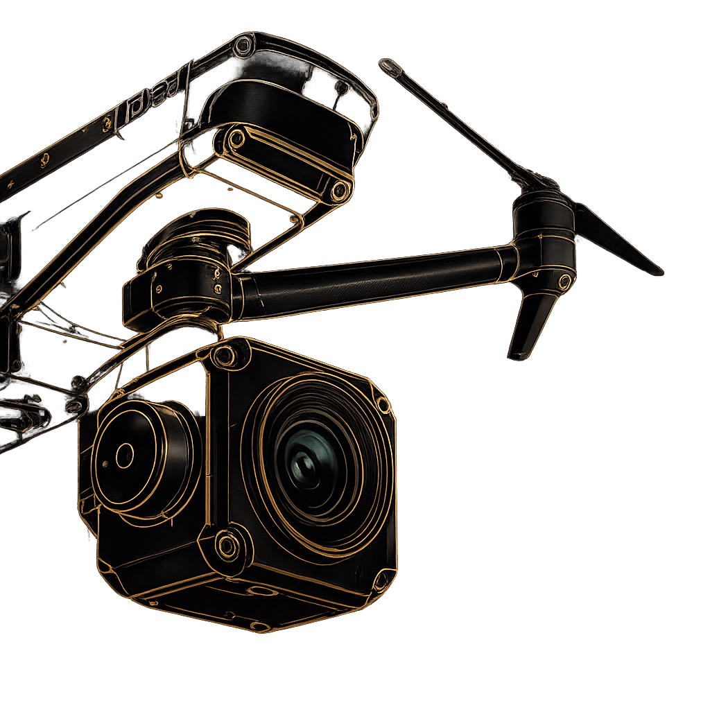
Execute precise target location missions. The platform features a belly-mounted servo system designed for camera retraction, allowing safe landings. Operators can select a belly-mounted 10x Zoom Day Camera or a 10x Zoom Camera with an integrated Thermal Imager.

Precision Fire Control

Lock onto targets with extreme accuracy. This payload features a belly-mounted 30x Low Light Zoom Camera paired with a Thermal Imager and Laser Range Finder. It provides 3000m standoff ranging capabilities and a dual Picture in Picture display.

Electronic Warfare (EW)

Dominate the spectrum. The EW configuration boasts a 4 kg payload capacity with sufficient power to run electronic systems and an extended endurance fit of up to 3 hours. It features electronic direction-finding to locate emitting targets , high radar cross-section devices for counter air defense , and a third rear lower bay for expendables like chaff.

Battlefield Mapping

Map the battlespace without interference. This configuration is immune to datalink jamming and features nose and belly-mounted mapping cameras. It delivers a very wide mapping footprint at a 120 Mega Pixel equivalent (5x 24mp) , with multi-spectrum cameras also available.

GPS-Denied Navigation by Luftronix

When traditional signals are compromised, the Peremoha continues the mission. Powered by Luftronix, the aircraft utilizes advanced terrain scanning to navigate completely GPS-denied environments. The system cross-references possible features and identified features against known terrain markers to maintain absolute positional accuracy.

Universal Ground Control

Maintain absolute control over every payload configuration using a single, common software. The hand-held Ground Control Station (GCS) features a 5.5-inch LCD touchscreen, precision joysticks, and 3-stage switches. To stretch the operational envelope, the system integrates a low-cost tracking antenna and is Mesh Radio capable for extended ranges of up to 40km.

Explore Our Defence Capabilities

Discover integrated ISR, Counter-UAS, tactical logistics, and mission-ready unmanned systems designed for modern defence operations.

Let's Build the Right Solution for Your Mission.

Fill out the form and our team will get back to you with the information you need.
REQUEST INFO