Meet the
DJI Mavic 3
Enterprise Series
With cutting-edge technology, exceptional performance, and unparalleled versatility, the Mavic 3 Enterprise series sets a new industry benchmark for the way commercial industries can utilize small drones.
Experience a whole new level of portability and performance with the
DJI Mavic 3 Enterprise Series.
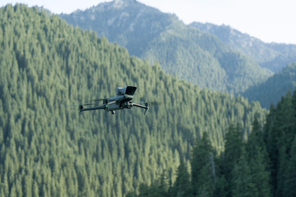
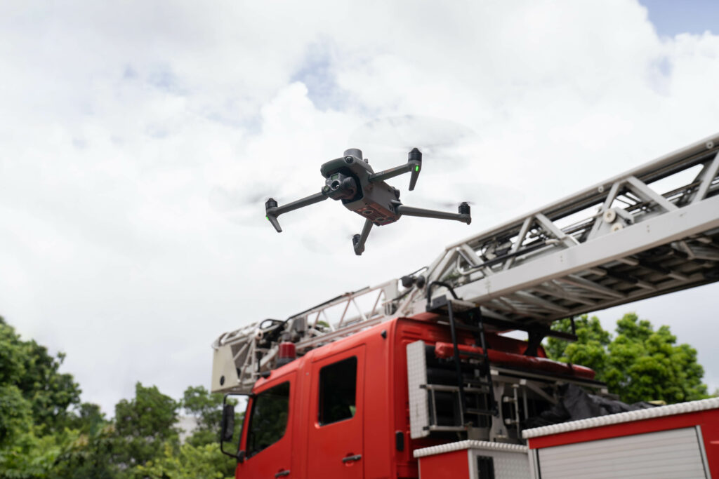
Compact & Portable
The M3 Enterprise Series drones are compact and streamlined to carry in one hand and can be deployed in an instant. Whether you're a seasoned pilot or just starting your aerial journey, this compact and portable drone series is designed to travel with you, ensuring easy deployment and exceptional performance every step of the way.
Increased Operational Efficiency
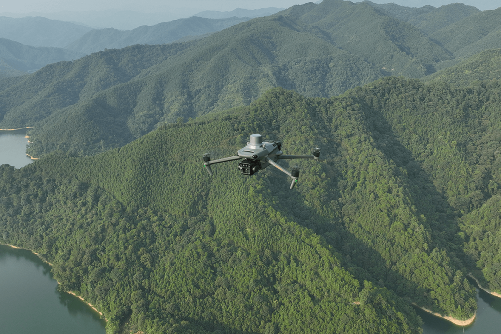
Unlocking unparalleled efficiency, the Mavic 3 Enterprise Series offers an impressive 45-minute flight duration, allowing you to cover expansive areas during each mission. With the ability to survey up to 2 square kilometers in a single flight, you can now accomplish more in less time, maximizing productivity and capturing comprehensive data like never before.
Omnidirectional Sensing for Safe Flying
Experience a new level of enhanced safety and effortless navigation with the M3 Enterprise Series. Equipped computer vision cameras on all sides, the M3 series ensures 360 degree obstacle avoidance without any blind spots. Adjust proximity alarms and braking distances according to your mission requirements, providing precise control over your flight. With the advanced Return-to-Home (RTH) feature, the drone automatically plans the most efficient route back, conserving power and saving valuable time while intelligently rerouting around obstacles using APAS 5.0, giving you peace of mind and the freedom to fly with confidence.
Smart Oblique Capture
Elevate the productivity of your oblique photography mission with Smart Oblique Capture. During flight, the gimbal automatically rotates in three directions: front, middle, and back. Two routes can collect all the photos at the angles you’ll need to create high-precision 3D modeling.
Live Mission Recording
Effortlessly document and preserve your mission actions for future automated flights. Capture crucial data, including aircraft movement, gimbal orientation, photo shooting, and zoom level for the creation of sample mission files. By recording these essential parameters, you can seamlessly recreate and replicate missions, streamlining your workflow and ensuring consistency and accuracy.
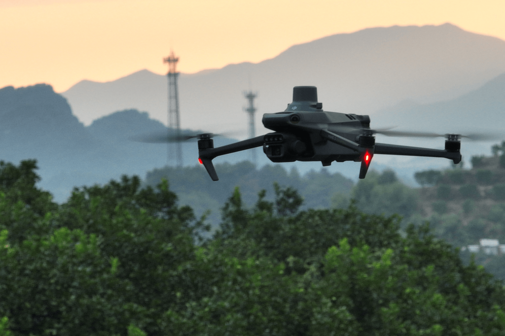
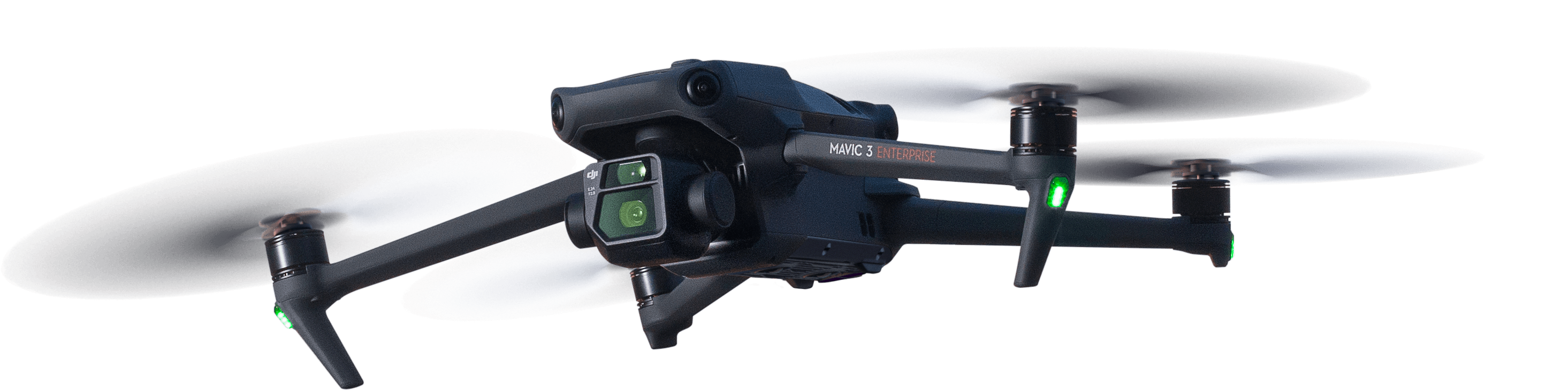
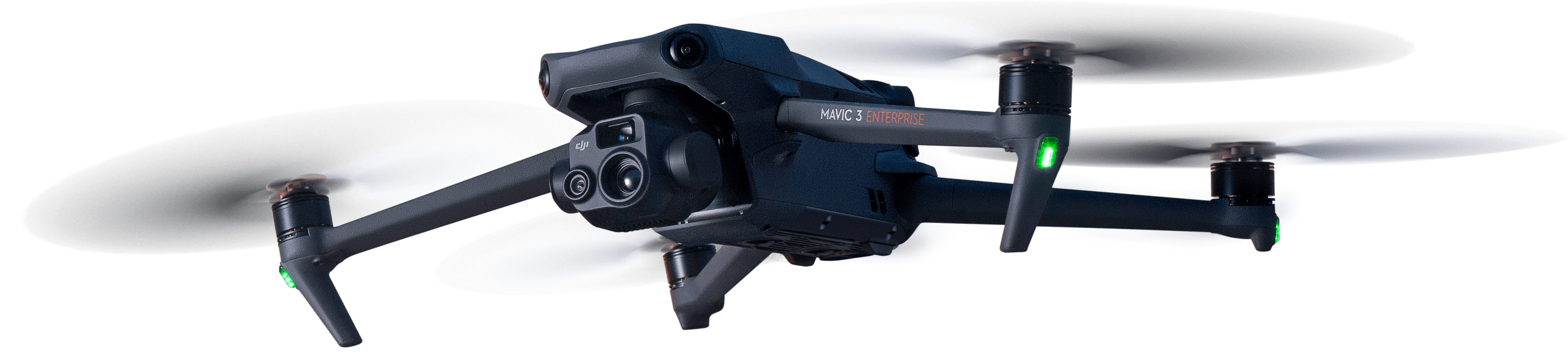
Mavic 3 Enterprise
The difference is in the details.
Survey with Speed
Mavic 3E’s wide-angle 4/3 CMOS, 20MP sensor has a mechanical shutter to prevent motion blur and supports rapid 0.7-second interval shooting. With the operation RTK Module and D-RTK 2 Base Station, complete mapping missions with extraordinary efficiency without the need for Ground Control Points.Improved Low-Light Performance
Experience remarkable performance even in low-light conditions with the Mavic 3E’s Wide camera. Equipped with large 3.3μm pixels and an intelligent low-light mode, this advanced camera delivers significantly improved results when capturing in dimly lit environments. Features- 4/3 CMOS Wide Camera
- 56× Hybrid Zoom
- Mechanical Shutter
- 45-min Max Flight Time
- DJI O3 Enterprise Transmission
- Centimeter-Level Positioning with RTK
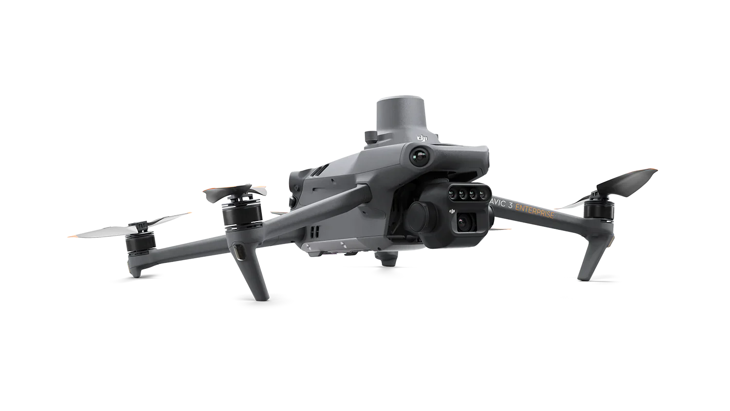
Mavic 3 Thermal
Discover the invisible with the Mavic 3 Thermal.
When minutes matter, the M3T thermal camera with its 12MP, 56× max hybrid zoom, and a 640*512@30Hz thermal camera with 640 × 512 resolution allows you to take decisive action quickly.
An ideal drone for night patrol, abnormal temperature detection, search and rescue (SAR), and firefighting missions, the Mavic 3 Thermal is changing how industries approach emergency response services.
See the Unseen
Mavic 3T’s thermal camera has 640 × 512 resolution and supports point and area temperature measurement, high temperature alerts, color palettes, and isotherms to quickly identify targets, even in the darkest of nights.
Simultaneous Split-Screen Zoom
Easily compare and analyze with the Mavic 3T’s thermal and zoom cameras, which offer an impressive 28× continuous side-by-side zoom capability.
Features
- Thermal: DFOV: 61°,
- Equivalent Focal Length: 40mm, Resolution 640 × 512 Wide: Equivalent Focal Length: 24mm, 48MP
- Zoom: Equivalent Focal Length: 162mm, 12MP, 56× Hybrid Zoom
- 45-min Max Flight Time
- DJI O3 Enterprise Transmission
- Centimeter-Level Positioning with RTK
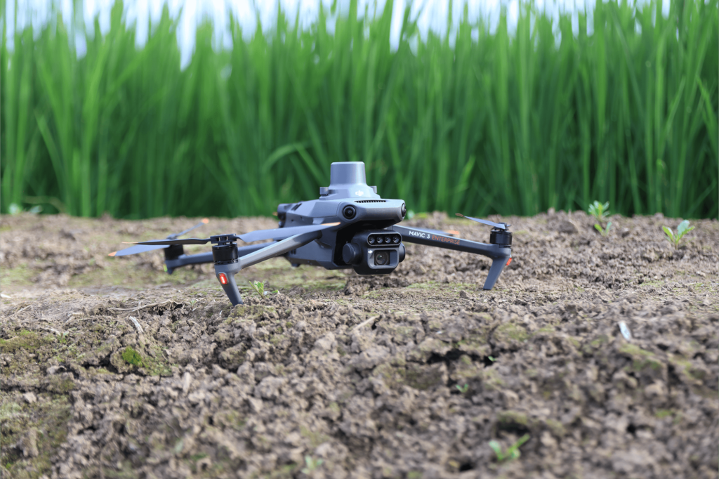
Mavic 3M Multispectral
In an industry that requires precision and data,
the Mavic 3M Multispectral delivers both.
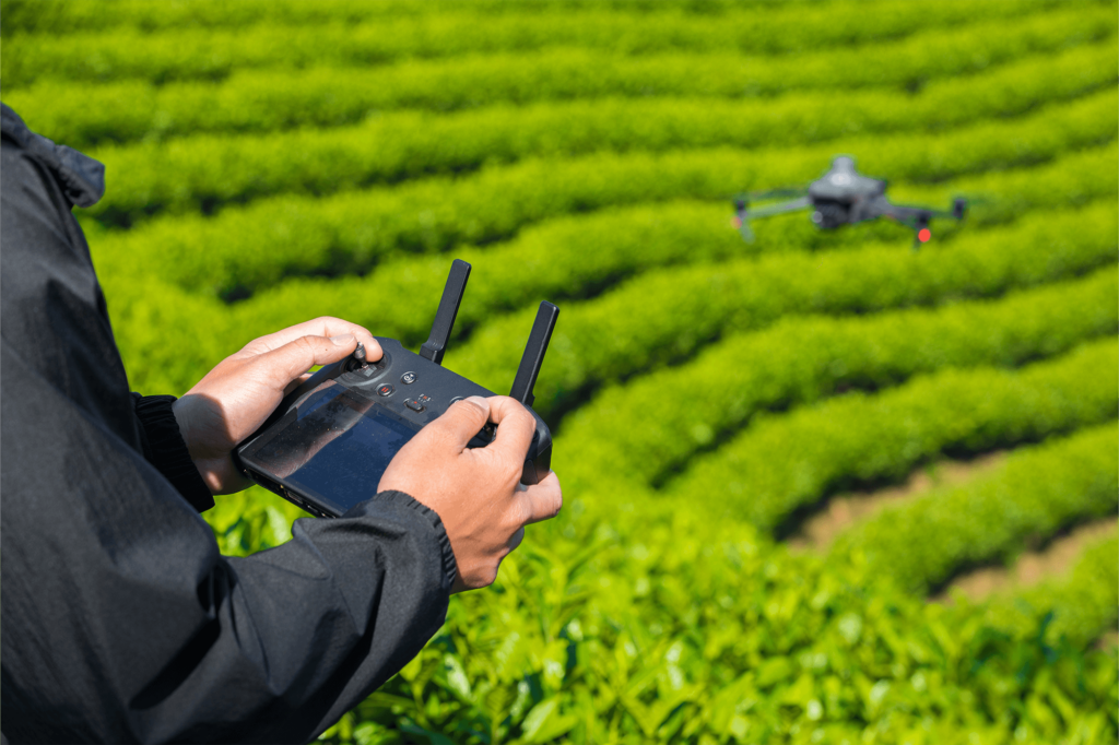
Capable of covering up to 200 hectares per flight, the M3M empowers you to gather extensive data with unmatched efficiency. The highly integrated imaging system combines the power of both multispectral and RGB imaging, allowing for comprehensive analysis and insights in various agricultural applications.
Highly Integrated Imaging System
The advanced imaging system of the M3M features a 20MP RGB camera alongside four 5MP multispectral cameras, each capturing crucial data in green, red, red edge, and near infrared spectrums. This powerful combination opens up a world of possibilities, allowing for high-precision aerial surveying, precise crop growth monitoring, and comprehensive natural resource surveys.
Sunlight Sensor
Enhance the accuracy and consistency of your data acquisition with the M3M built-in sunlight sensor. This intelligent sensor captures solar irradiance and incorporates it into the image file, enabling precise light compensation during 2D reconstruction. As a result, you can achieve more accurate NDVI results, as well as improved overall accuracy and consistency of data captured over time.
Features
- Multispectral Camera – 4 × 5MP, G/R/RE/NIR
- RGB Camera – 20MP, 4/3 CMOS, mechanical shutter
- Omnidirectional obstacle avoidance, 9mi (15km) transmission distance
- Centimeter-Level Positioning with RTK
- 45-min Max Flight Time
- DJI O3 Enterprise Transmission